Land Surveying
Define boundaries, unlock potential — Copasa’s Land Surveying brings precision to every parcel. From ground truth to legal proof, we deliver clarity that builds confidence.
What is this service?
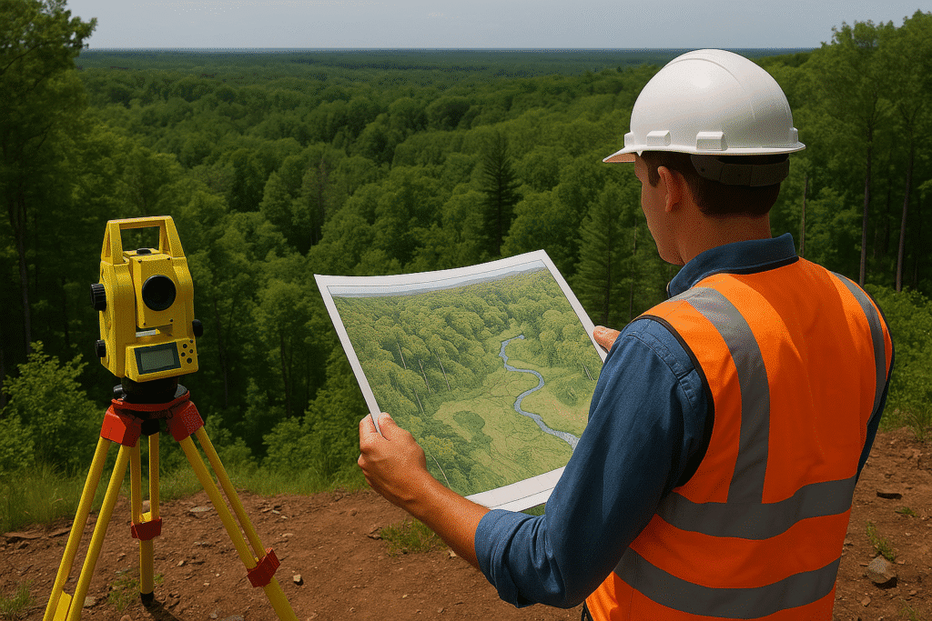
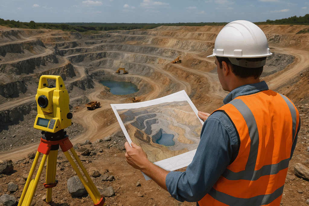
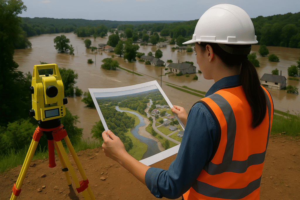
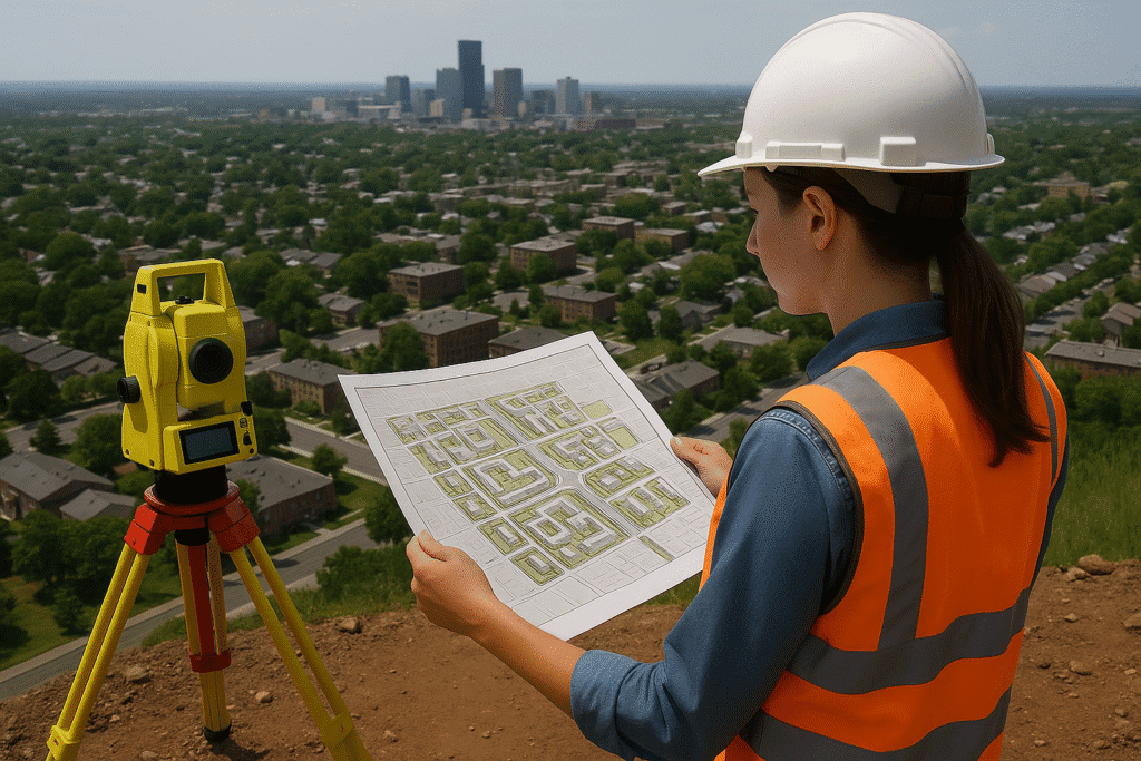
Land Surveying is the foundational process of mapping and measuring land boundaries, topography, and features to support property documentation, construction, development, and legal compliance. At Copasa, we deliver precise, GPS-enabled land surveys using state-of-the-art equipment and methodologies tailored to every project’s requirements — whether it’s real estate development, infrastructure planning, or land regularization.
Our survey teams ensure regulatory adherence, clear documentation, and digital-ready outputs that align with both private sector and government expectations.
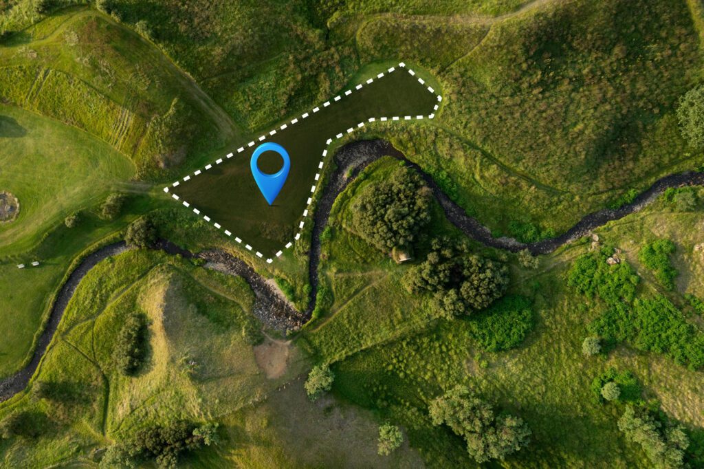
- Accurate boundary and area demarcation for land ownership and legal purposes
- Integration of modern survey tools like DGPS, Total Station, and UAV
- Preparation of topographic maps and site plans for planning and approvals
- Support for property registration, land acquisition, and revenue records
- Essential for real estate, infrastructure, industrial, and government projects
Key Features
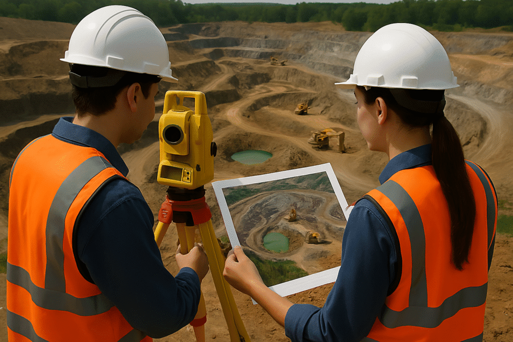
- DGPS, ETS (Electronic Total Station), and drone-based survey options
- Legal boundary verification and demarcation
- Site grading and contour analysis
- Subdivision layouts and plot numbering
- High-resolution topographic and cadastral maps
- AutoCAD and GIS-ready outputs for easy integration
- Scalable for small plots to large land banks and townships

Industries Served
Real Estate & Land Development
Land parceling, plotting, and layout planning for residential and commercial development.

Government & Revenue Departments
Land acquisition, public land management, and property record validation.

Infrastructure & Engineering Firms
Pre-construction land analysis, leveling, and design planning.

Agriculture & Plantation
Boundary marking, irrigation planning, and large-scale landholding management.

Why choose Copasa for this service?
Precision and Compliance First
We ensure each survey complies with land laws and local authorities’ specifications, backed by verified data and documentation.
Advanced Survey Technology
We use DGPS, Total Station, UAVs, and cloud-based mapping tools to offer high-accuracy surveys and seamless data visualization.
Cross-Domain Expertise
Whether for a private landowner, a builder, or a government agency, Copasa adapts its process to fit your legal, technical, and commercial needs.
Fast Delivery & Scalable Team
With a well-trained field team and robust project coordination, we complete surveys efficiently and at scale, even across large geographies.
Frequently asked questions about
Land Surveying
What is land surveying and why is it important?
Land surveying is the process of accurately measuring and mapping land boundaries, features, and elevations. It is essential for legal documentation, construction planning, land development, and dispute resolution. Without precise surveys, property ownership and project execution can face significant challenges.
What types of land surveys does Copasa offer?
Copasa offers a full range of surveys including boundary surveys, topographic surveys, layout marking, DGPS control surveys, contour mapping, and drone-based land surveys. Each is tailored to suit specific legal, engineering, or development requirements.
How accurate are Copasa’s land surveys?
Copasa uses advanced tools such as DGPS, Total Station, and UAVs to ensure centimeter-level accuracy. Our surveys adhere to national and local regulations and are accepted by land revenue and urban planning authorities.
How long does it take to complete a land survey?
The time frame depends on the size and complexity of the property. A basic plot survey may take one to two days, while larger land parcels or layouts could require several days. Copasa is known for delivering prompt, reliable timelines.
Is drone (UAV) technology used for land surveys?
Yes. For large or inaccessible terrains, Copasa uses drones to conduct aerial land surveys. This enables faster data collection, enhanced terrain visualization, and high-resolution outputs with minimal field disruption.
Do your surveys support legal documentation and approvals?
Absolutely. Our survey reports and drawings are compliant with requirements from local bodies, land revenue offices, DTCP, LSGD, and other regulatory authorities, making them valid for approvals, transactions, and court cases.
What format will the survey data be delivered in?
Clients receive survey outputs in formats like AutoCAD (DWG), PDF reports, KML files, and GIS-compatible layers depending on project needs. Hard copies, digital reports, and geo-referenced files are all available.
What should I provide before initiating a land survey?
You’ll need to share land documents (such as title deed, previous survey records, and sketches), location access, and any special instructions. Our team will verify the inputs and plan the survey accordingly.
Can Copasa assist in resolving land boundary disputes?
Yes. Our surveys include precise boundary marking using legal coordinates and verified data. These can serve as key evidence in resolving disputes between neighbors, developers, or government bodies.
Why should I choose Copasa over local surveyors?
Copasa combines technical excellence, legal compliance, and scalable execution. Our team uses modern survey technology and delivers professional reports that are both regulator-ready and engineering-grade — something local surveyors may not consistently provide.
Let’s Build Something
Exceptional Together.
Whether you’re breaking ground or scaling up, we bring precision, speed, and compliance to every project. From highways to high-rises, surveys to smart cities—our experts are ready to guide you. No hidden costs, no obligations—just honest insights and professional clarity. Request a tailored quote or a free expert consultation in just a few clicks. Because when you build with Copasa, you build with confidence.