Aerial Surveying
See the big picture from above — precision aerial surveying that transforms how you plan, build, and develop. ast, accurate, and scalable geospatial data—delivered from the sky.
What is this service?
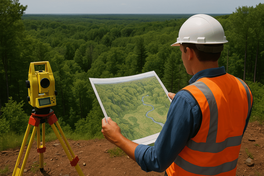
Aerial Surveying is a modern mapping technique that uses aircraft-mounted sensors to capture high-resolution images and geospatial data over large areas in a short time. Through aerial photography, photogrammetry, and remote sensing, this method enables the creation of accurate maps, elevation models, and topographic data crucial for infrastructure development, resource management, and urban planning.
At COPASA Projects Pvt. Ltd., we leverage state-of-the-art aerial platforms and geospatial processing technologies to deliver fast, accurate, and cost-effective aerial survey solutions tailored to diverse industry needs.
- High-resolution aerial imagery for precision mapping
- Efficient coverage of extensive or inaccessible areas
- Significantly reduced project timeframes and manpower needs
- Ideal for both urban and rural land mapping projects
- Compatible with GIS, CAD, and 3D modeling workflows
Key Features
- Orthophoto and oblique aerial image capture
- Digital Surface Models (DSM) and Digital Terrain Models (DTM) generation
- High-accuracy geo-referencing with GCP integration
- Rapid image stitching and photogrammetric processing
- Multi-sensor compatibility (RGB, thermal, multispectral)
- Output-ready for GIS, CAD, and planning software
- Strict compliance with DGCA and geospatial data handling norms


Industries Served
Urban and Regional Planning
For zoning, infrastructure layout, and city model development.

Agriculture and
Irrigation
For crop health monitoring, water channel planning, and soil analysis.

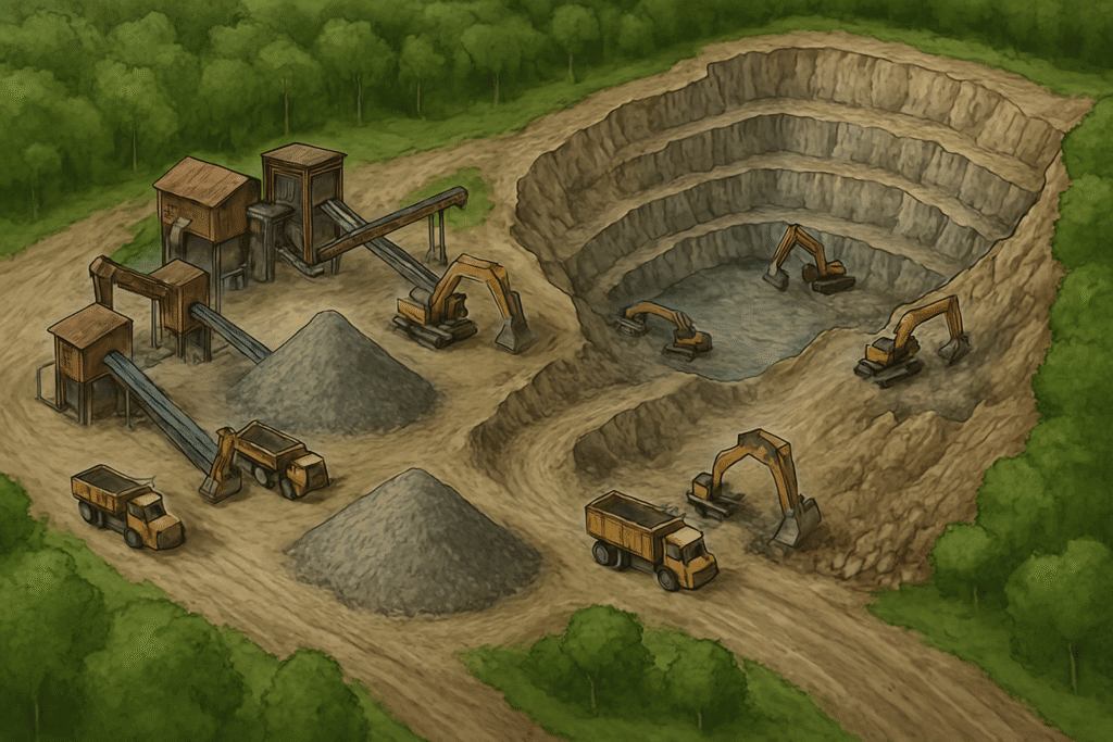
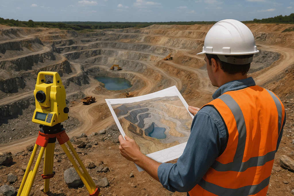
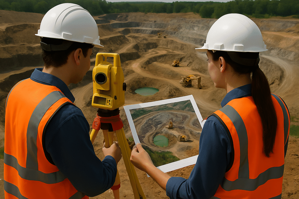
Construction and Infrastructure
For site reconnaissance, feasibility studies, and monitoring progress.

Environmental and Disaster Management
For floodplain mapping, terrain analysis, and damage assessments.

Why choose Copasa for this service
Advanced Imaging Platforms
We operate fixed-wing and rotary UAVs, as well as manned aerial systems, integrated with advanced sensors to ensure accurate and scalable data capture.
Integrated Geospatial Processing
Our in-house photogrammetry and GIS experts convert raw aerial imagery into actionable datasets, ready for CAD, GIS, and civil engineering applications.
Customized Survey Solutions
From pre-planning to data delivery, we tailor every project to match terrain conditions, client requirements, and intended use of data.
Proven Expertise and Compliance
With extensive domain experience and DGCA-approved operations, COPASA ensures each project is executed safely, legally, and with the highest quality standards.
Frequently asked questions about
Aerial Surveying
What is Aerial Surveying?
Aerial surveying is the process of capturing geospatial data and high-resolution images from an elevated platform—typically an aircraft or UAV—to map large areas quickly and accurately. It is widely used for topographic mapping, planning, and infrastructure development.
How is aerial surveying different from ground surveying?
Unlike ground surveys that rely on point-by-point data collection, aerial surveys cover vast areas in a fraction of the time, offering faster data acquisition and a broader overview. They are especially effective in difficult or inaccessible terrain.
What technologies are used in aerial surveys?
We use advanced UAVs, manned aircraft, and sensors including RGB cameras, thermal cameras, multispectral sensors, and LiDAR. These are combined with photogrammetry and GPS for accurate data capture and processing.
What is the accuracy level of aerial surveys?
Aerial surveys typically offer horizontal accuracy within 5–15 cm depending on the sensor type, altitude, and use of ground control points (GCPs). Accuracy improves significantly when integrated with DGPS-based referencing.
What are the deliverables from an aerial survey?
Our deliverables include:
- Orthophotos (georeferenced aerial images)
- Digital Surface Models (DSM)
- Digital Terrain Models (DTM)
- Contour maps
- 3D terrain models
- CAD/GIS-compatible files
Can aerial surveying be used in urban areas?
Yes. Aerial surveys are ideal for urban planning, zoning analysis, and infrastructure mapping. We ensure compliance with airspace regulations and use high-resolution sensors for built-up environments.
Is aerial surveying legal in India?
Yes. COPASA operates under the guidelines of the DGCA (Directorate General of Civil Aviation) and secures all necessary permissions for legal and safe aerial data capture across India.
How long does it take to complete an aerial survey project?
Project timelines depend on area size and complexity. Typically, field data capture is completed in 1–3 days, while full deliverables are provided within 7–10 business days.
What industries benefit from aerial surveying?
Key sectors include:
- Urban Development and Smart Cities
- Infrastructure and Road Construction
- Agriculture and Land Management
- Environmental Monitoring and Disaster Assessment
Why choose COPASA for your aerial survey needs?
With cutting-edge technology, experienced survey teams, full regulatory compliance, and a reputation for accuracy and reliability, COPASA delivers end-to-end aerial surveying solutions that meet the highest industry standards.
Let’s Build Something
Exceptional Together.
Whether you’re breaking ground or scaling up, we bring precision, speed, and compliance to every project. From highways to high-rises, surveys to smart cities—our experts are ready to guide you. No hidden costs, no obligations—just honest insights and professional clarity. Request a tailored quote or a free expert consultation in just a few clicks. Because when you build with Copasa, you build with confidence.