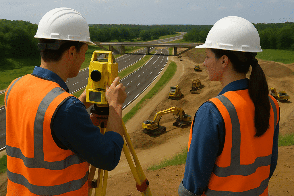
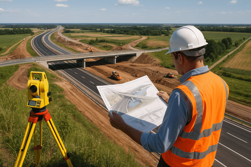
Highway Mapping with Mobile LiDAR
Map miles in minutes — Copasa’s Mobile LiDAR captures every contour, curve, and corridor in stunning detail. High-speed, high-precision road mapping that drives smarter infrastructure decisions.
What is this service?
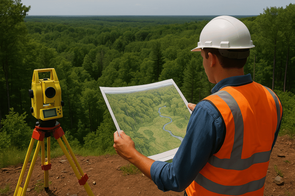
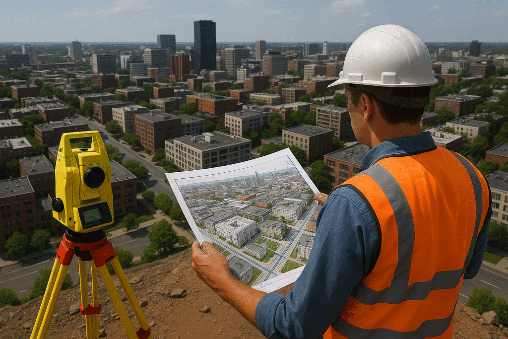
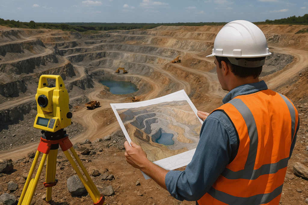
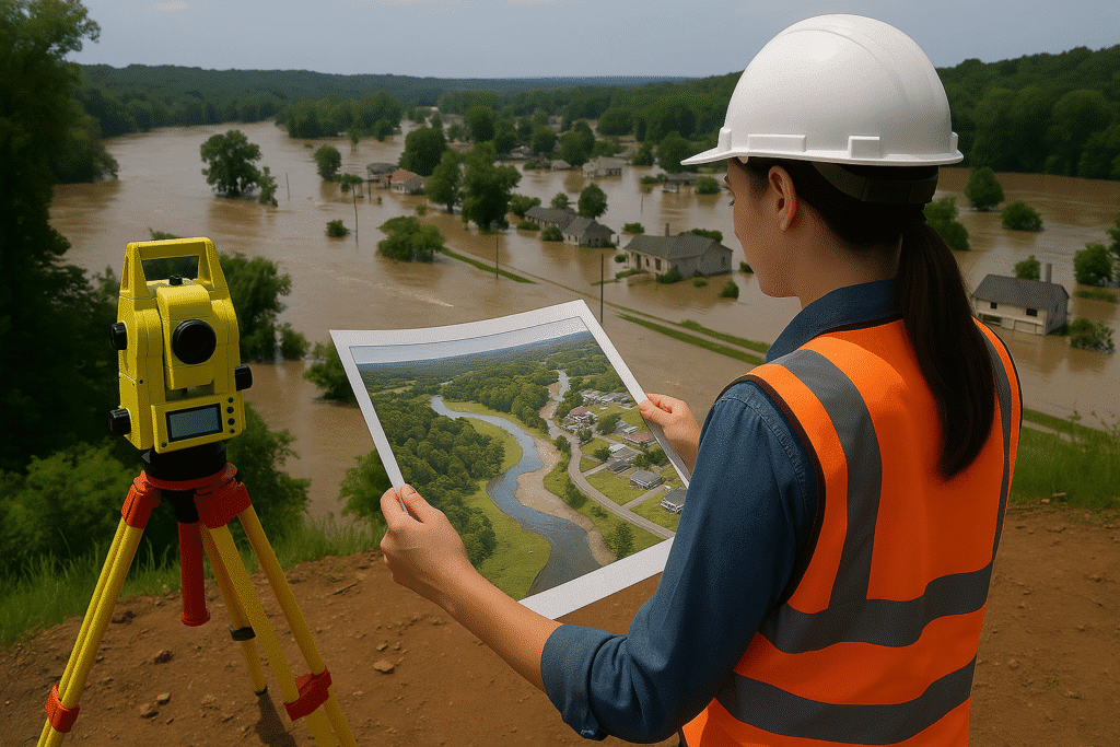
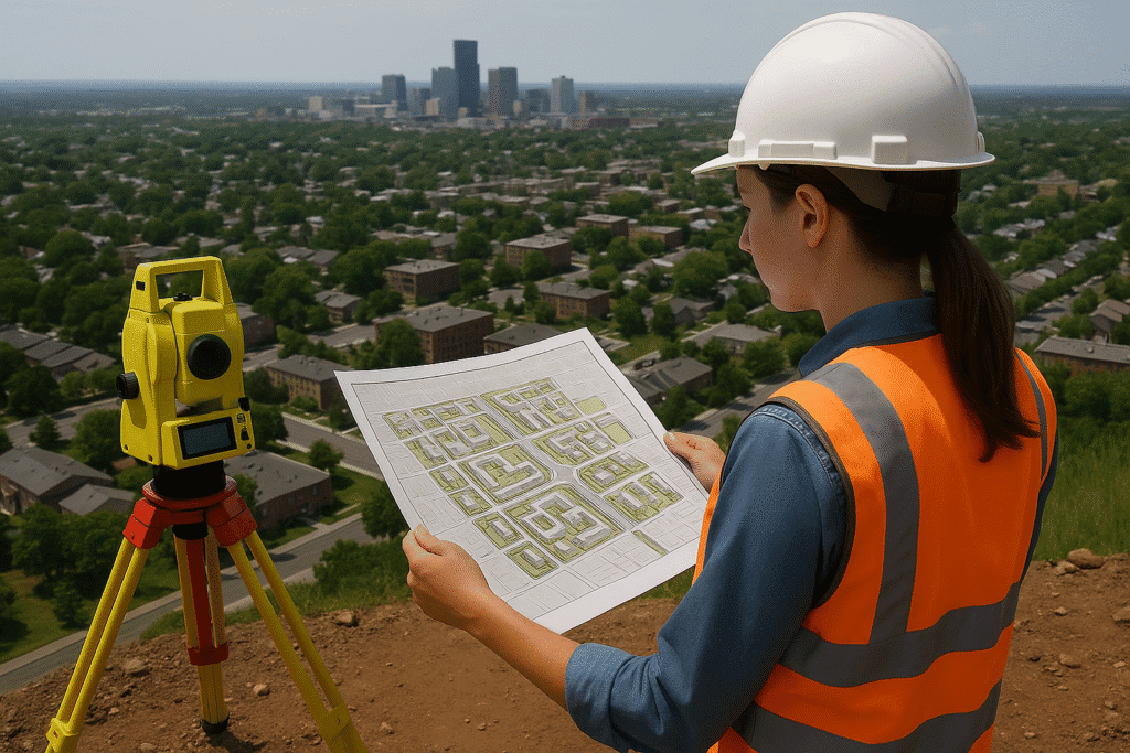
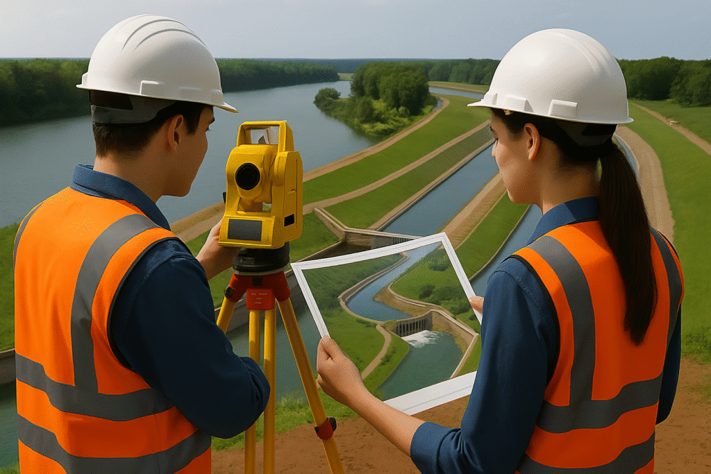
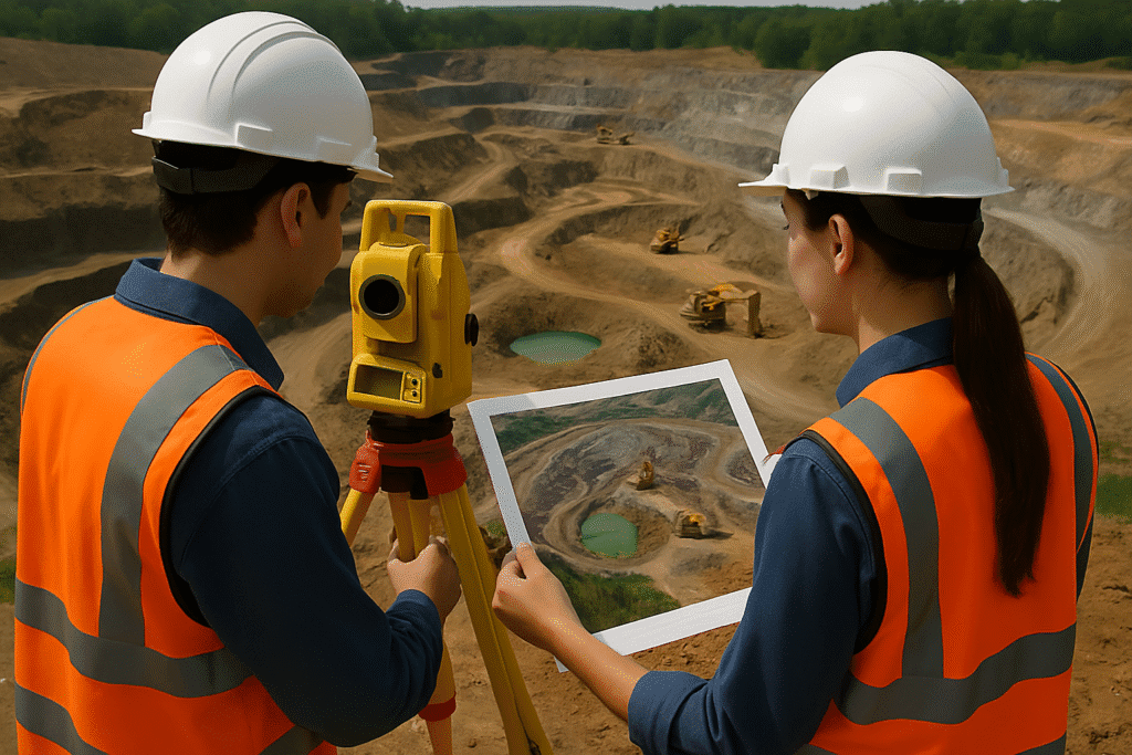
Highway Mapping with Mobile LiDAR is an advanced surveying technique that uses vehicle-mounted LiDAR sensors to capture high-resolution, 3D spatial data of roads, highways, and transportation corridors in real time. This technology significantly improves speed, accuracy, and safety compared to traditional methods.
At Copasa, we harness Mobile LiDAR to deliver detailed roadway models, digital terrain maps, and geometric analysis essential for transportation engineering, road safety audits, and infrastructure planning. Our solutions empower highway authorities, EPC contractors, and consultants to make faster and smarter decisions — all with millimeter precision.
- Rapid and safe data capture without disrupting live traffic
- High-precision 3D point cloud data for roads, medians, and shoulders
- Comprehensive asset inventory: signs, poles, drainage, and markings
- Ideal for road widening, maintenance, and geometric design upgrades
- CAD-ready outputs for seamless integration into highway design software
Key Features
- Vehicle-mounted LiDAR scanning at highway speeds
- Up to 2 million points per second data capture
- Simultaneous collection of LiDAR, HD imagery, and GNSS data
- Generation of Digital Elevation Models (DEM), cross-sections, and contours
- Road feature extraction including edge of pavement, medians, kerbs, barriers
- Integration with GIS, BIM, and transportation design platforms
- Reduced on-site risk and project downtime compared to conventional surveys


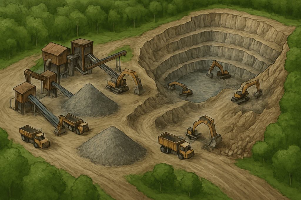
Industries Served
Transportation & Highways
Highway departments, toll authorities, road modernization agencies
Urban Infrastructure & Smart Cities
Planning for BRT corridors, flyovers, and traffic management systems

Construction & Engineering Firms
EPC contractors requiring detailed road data for design and as-built verification
Government & Public Works
Departments needing spatial road inventories for planning and budgeting

Why choose Copasa for this service?
Best-in-Class Mobile LiDAR Technology
We deploy cutting-edge mobile LiDAR systems with fusion of GNSS, IMU, and panoramic imaging to ensure unmatched accuracy and data richness.
End-to-End Data Processing Expertise
From field scanning to 3D modeling and map production, our in-house experts ensure high-quality deliverables tailored to highway design workflows.
Proven Track Record in Road Infrastructure
With experience in national and state highway projects, Copasa has become a trusted partner for road surveys across diverse terrains.
Faster Turnaround with Uncompromised Accuracy
We deliver survey-grade outputs up to 5x faster than traditional methods, helping clients reduce delays and avoid rework in project execution.
Frequently asked questions about
Highway Mapping with Mobile LiDAR
What is Mobile LiDAR and how is it used in highway mapping?
Mobile LiDAR (Light Detection and Ranging) is a vehicle-mounted system that uses lasers to scan and capture high-resolution 3D data of highways and surrounding infrastructure. It enables fast and precise mapping of road geometry, terrain, and roadside assets while the vehicle is in motion.
How is Mobile LiDAR different from traditional road surveys?
Unlike traditional methods, Mobile LiDAR:
- Captures data at high speed without traffic disruption
- Provides dense and accurate 3D point clouds
- Reduces field time and enhances safety for survey teams
- Offers simultaneous collection of imagery, GPS, and IMU data
What kind of data outputs can we expect from Copasa’s Mobile LiDAR survey?
Copasa delivers:
- High-density point clouds
- Digital Terrain Models (DTM) and Digital Elevation Models (DEM)
- Road cross-sections and profiles
- Asset inventories (signs, barriers, lighting, etc.)
- CAD-ready drawings and GIS-compatible layers
How accurate is Mobile LiDAR data for highway projects?
Mobile LiDAR can achieve centimeter-level accuracy, especially when integrated with high-grade GPS, IMU, and ground control points (GCPs). It meets the precision requirements for detailed engineering design and road planning.
Is the Mobile LiDAR survey safe to conduct in active traffic zones?
Yes. One of the biggest advantages is that it is non-intrusive — data collection is performed at normal driving speeds without closing roads or deploying personnel into live traffic environments, ensuring superior safety.
What are the applications of highway mapping using Mobile LiDAR?
Applications include:
- Road widening and redesign
- Pavement and slope analysis
- Bridge clearance checks
- Safety audits and asset condition monitoring
- Utility coordination and corridor planning
How long does it take to complete a highway mapping project using Mobile LiDAR?
Copasa’s Mobile LiDAR can survey 100+ km per day, depending on road conditions and traffic. The overall project duration depends on post-processing complexity, but deliverables are typically faster than traditional methods by 3–5 times.
Can Copasa integrate Mobile LiDAR data with existing GIS or CAD systems?
Absolutely. We provide fully compatible outputs for platforms such as AutoCAD Civil 3D, MicroStation, ArcGIS, and BIM systems, ensuring seamless integration with your planning and design environments.
What types of roads or terrains are suitable for Mobile LiDAR surveys?
Mobile LiDAR is ideal for:
- Highways and expressways
- Urban roads and ring roads
- Hilly terrain and slopes
- Bridges, underpasses, and overpasses
It adapts well to both urban and rural infrastructure projects.
Why should we choose Copasa for Mobile LiDAR highway mapping?
Copasa combines cutting-edge technology, deep domain expertise, and rapid project delivery to offer one of the most reliable Mobile LiDAR services in the sector. Our solutions ensure maximum detail, safety, and cost-effectiveness for every kilometer mapped.
Let’s Build Something
Exceptional Together.
Whether you’re breaking ground or scaling up, we bring precision, speed, and compliance to every project. From highways to high-rises, surveys to smart cities—our experts are ready to guide you. No hidden costs, no obligations—just honest insights and professional clarity. Request a tailored quote or a free expert consultation in just a few clicks. Because when you build with Copasa, you build with confidence.