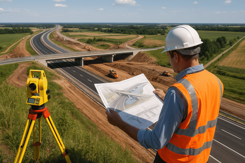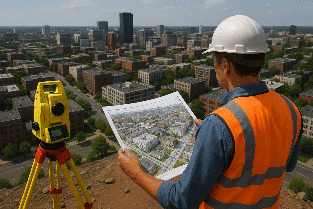
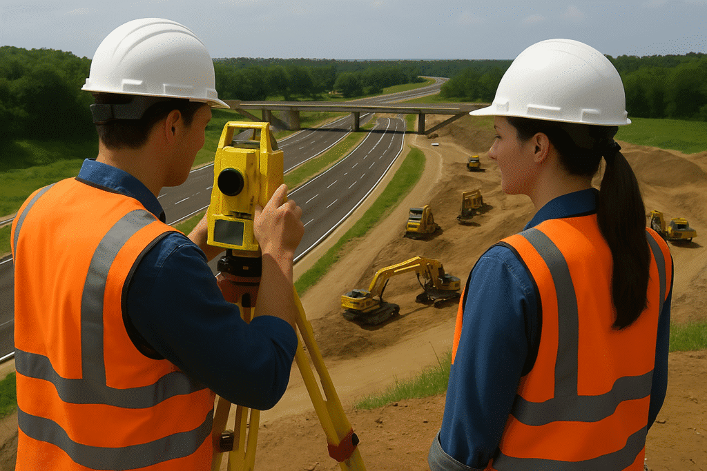
Mobile LiDAR for Roads
Scan roads at speed, deliver precision that drives decisions. Copasa’s Mobile LiDAR transforms corridors into intelligent, engineering-ready assets.
What is this service?
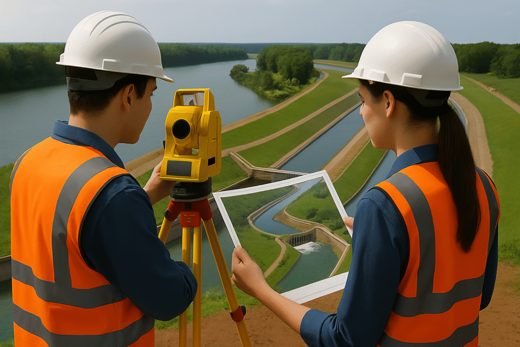
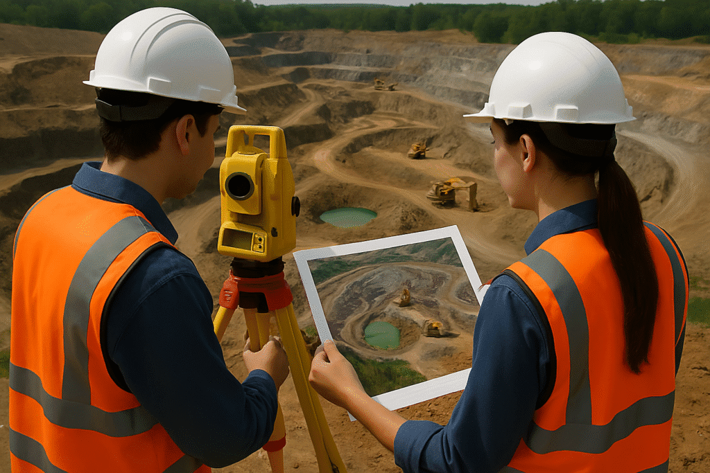
Mobile LiDAR for Roads refers to the high-precision data products generated from mobile LiDAR scanning mounted on vehicles that traverse road corridors. This advanced surveying method collects millions of georeferenced 3D data points, enabling the creation of detailed topographic maps, corridor models, asset inventories, and engineering-ready deliverables.
At Copasa, we transform raw LiDAR data into actionable deliverables to support infrastructure development, road widening, utility management, and digital twin creation with speed, accuracy, and GIS integration.
- Fast and uninterrupted data capture using vehicle-mounted LiDAR systems
- Real-time positioning accuracy with GNSS + IMU integration
- Detailed roadway models with sub-centimeter precision
- Delivery of GIS, CAD, and BIM-compatible outputs
- Supports both greenfield and brownfield infrastructure projects
Key Features
- Extraction of Digital Terrain Models (DTM) and Digital Surface Models (DSM)
- Generation of 3D point clouds, orthophotos, and planimetric features
- Identification and classification of road assets (signs, markings, utilities)
- Cross-section and longitudinal profiles for design engineering
- Pavement edge detection, lane modeling, and slope grading
- Data outputs in multiple formats: LAS, DWG, SHP, DXF, GeoTIFF
- Seamless integration with Highway Design, BIM, and GIS systems

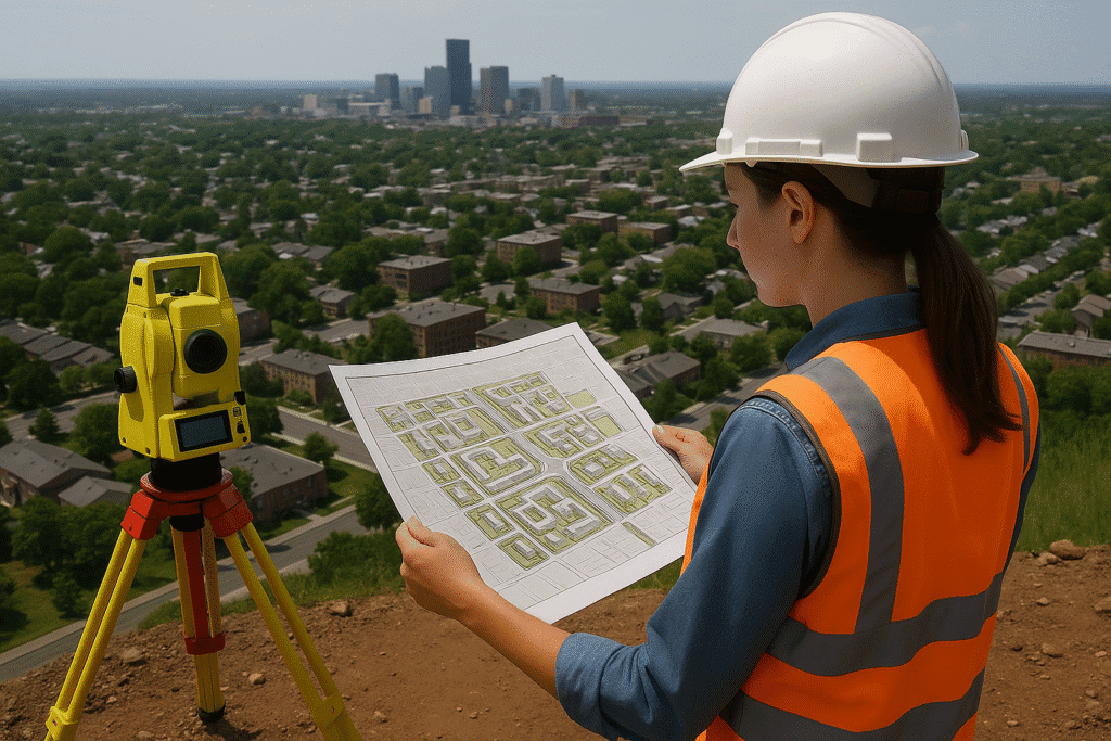
Industries Served
Transport & Highway Engineering
For highway widening, road rehabilitation, and corridor design.
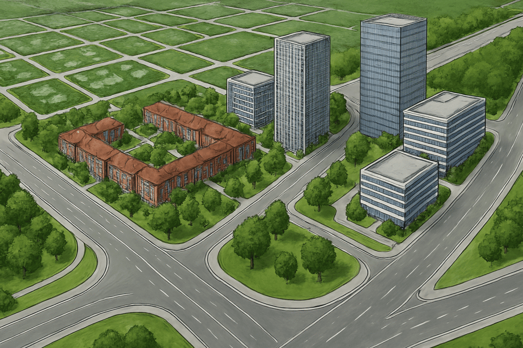
Urban Infrastructure Planning
Used in smart city projects and municipal road asset management.
Utilities and Telecom
For mapping roadside utilities, ducting, and cabling infrastructure.

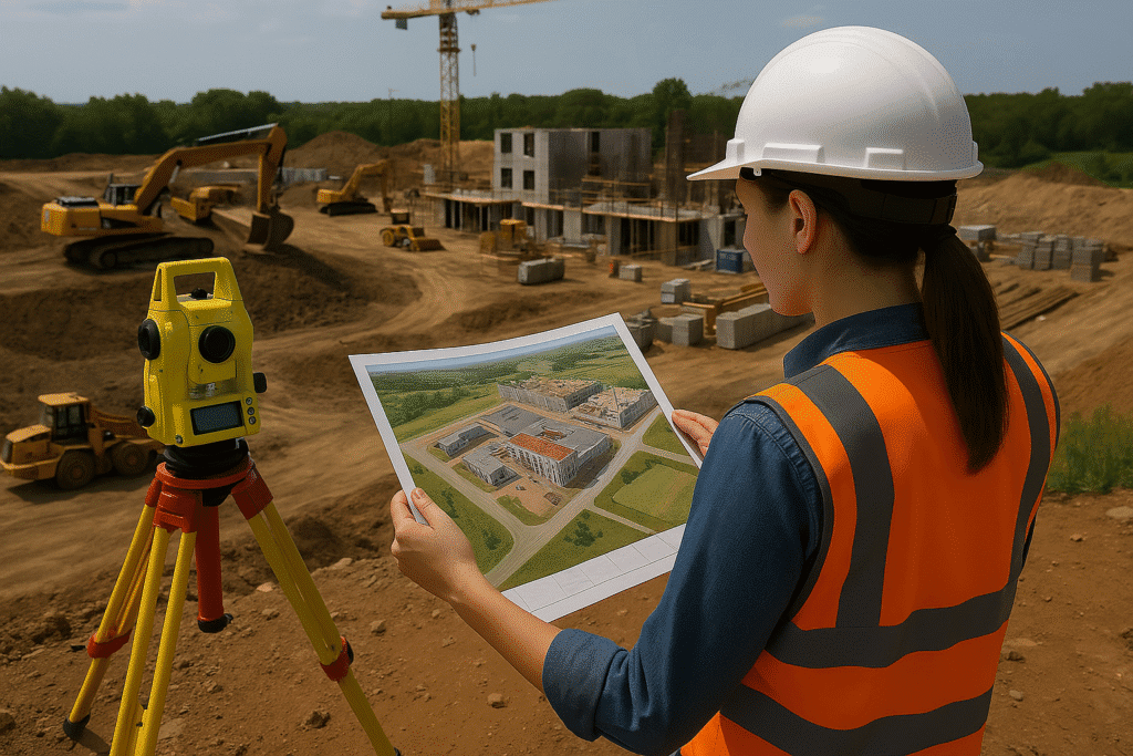
Construction & EPC Contractors
Supporting detailed design, cost estimation, and construction validation.
Why choose Copasa for this service?
Precision with Speed
Copasa’s mobile LiDAR systems deliver high-accuracy results at highway speeds, minimizing disruptions and project delays.
End-to-End Deliverable Expertise
From data capture to final CAD, GIS, or BIM-ready outputs, we deliver all required formats with engineering precision and clarity.
Multidisciplinary Integration
Our deliverables are fully compatible with infrastructure design tools, allowing seamless handoff to engineering, planning, or environmental consultants.
Proven Road Mapping Experience
With numerous highway and road corridor surveys executed across terrains, Copasa stands out as a reliable geospatial partner for transport infrastructure.
Frequently asked questions about
Mobile LiDAR for Roads
What is Mobile LiDAR and how is it used for road surveys?
Mobile LiDAR (Light Detection and Ranging) is a vehicle-mounted system that uses laser scanners, GNSS, and IMU sensors to capture high-resolution 3D data of road corridors. It enables fast and precise mapping of highways, urban roads, and associated infrastructure.
What deliverables are generated from a Mobile LiDAR road survey?
Typical deliverables include point clouds (LAS/LAZ), Digital Terrain Models (DTM), Digital Surface Models (DSM), orthophotos, cross-sectional profiles, as-built drawings, road asset inventories, and GIS/CAD-compatible layers.
How accurate is the data collected using Mobile LiDAR?
Copasa’s Mobile LiDAR systems can achieve horizontal accuracies of 2-5 cm and vertical accuracies of 3-7 cm, depending on GNSS conditions and control network quality.
Is road traffic affected during a Mobile LiDAR survey?
Minimal. Since data is captured at normal traffic speeds (30–80 km/h), there’s no need for road closures or traffic control in most cases, making it an efficient and non-disruptive method.
What formats do you provide the final data in?
We offer data in standard industry formats like LAS, SHP, DWG, DXF, GeoTIFF, CSV, and BIM-compatible formats. We also tailor the deliverables based on client requirements and end-use applications.
Can Mobile LiDAR be used for urban roads and complex intersections?
Yes. Mobile LiDAR is well-suited for both highways and dense urban environments. It effectively captures complex geometries such as flyovers, cloverleaf interchanges, junctions, and underpasses.
What is the typical turnaround time for survey deliverables?
Turnaround time depends on the project scope, but for a 50–100 km stretch, deliverables are usually provided within 2–3 weeks, including processing, extraction, QA/QC, and final formatting.
Do you offer integration with highway design or BIM tools?
Absolutely. Our deliverables can be directly integrated into AutoCAD Civil 3D, MicroStation, Bentley OpenRoads, ArcGIS, QGIS, and BIM platforms, enabling seamless project transition to engineering teams.
What’s the advantage of using Copasa over conventional road survey methods?
Copasa’s Mobile LiDAR solution drastically reduces time, increases accuracy, eliminates manual errors, and provides engineering-grade outputs ready for design, tendering, or construction validation.
Can Copasa combine Mobile LiDAR data with other technologies?
Yes. We can integrate LiDAR data with UAV imagery, DGPS control networks, and GIS datasets to build comprehensive, multi-layered deliverables for road infrastructure projects.
Let’s Build Something
Exceptional Together.
Whether you’re breaking ground or scaling up, we bring precision, speed, and compliance to every project. From highways to high-rises, surveys to smart cities—our experts are ready to guide you. No hidden costs, no obligations—just honest insights and professional clarity. Request a tailored quote or a free expert consultation in just a few clicks. Because when you build with Copasa, you build with confidence.