DGPS Control Survey
Precision starts here — anchor your projects with sub-centimetre control accuracy. Our DGPS surveys lay the foundation for flawless mapping, modelling, and execution.
What is this service?
A DGPS (Differential Global Positioning System) Control Survey is a high-precision geodetic surveying method that establishes reference control points essential for all types of spatial data acquisition. It enhances the accuracy of satellite-based positioning by using correction signals from fixed ground-based stations. These reference points act as a geospatial backbone for topographical surveys, LiDAR, drone mapping, and all engineering-level georeferencing applications.
At COPASA Projects Pvt. Ltd., we employ advanced dual-frequency DGPS receivers and rigorously follow survey control protocols to establish precise horizontal and vertical coordinates, thereby ensuring the integrity and consistency of all geospatial datasets tied to your project.
- Sub-centimeter-level positional accuracy using RTK and PPK techniques
- Geodetic control networks compliant with national and international standards
- Critical input for GIS, LiDAR, photogrammetry, and construction stakeout
- Robust survey planning including baseline, network adjustment, and redundancy
- Real-time and post-processed data support for diverse terrain and environments
Key Features
- Use of high-precision dual-frequency GNSS receivers (L1/L2, GPS+GLONASS/IRNSS)
- Static, RTK (Real-Time Kinematic), and PPK (Post-Processed Kinematic) methods
- Geodetic control tied to WGS-84, UTM, or local projection systems
- Loop closure and network adjustment using least-squares analysis
- Output in standard formats: Control point reports, shapefiles, CAD-compatible files
- Field-to-office quality assurance and error budgeting workflows
- Compliance with survey mandates of NHAI, RERA, Town Planning, and State PWDs


Industries Served
Infrastructure and Highway Engineering
DGPS control is fundamental for road alignments, bridges, and corridor development.

Urban Planning and Development Authorities
Used for master planning, utility mapping, and zoning control frameworks.

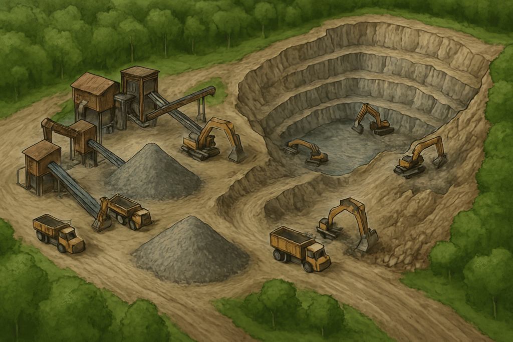
Mining and Industrial Projects
Supports volumetric surveys, lease demarcation, and excavation boundaries.

Hydrographic and Irrigation Projects
Essential for canal alignment, reservoir modeling, and watershed management.

Why choose Copasa for this service
Superior Survey Equipment and Software
We use state-of-the-art GNSS receivers, Total Stations, and post-processing suites such as Trimble Business Center and Leica Infinity to deliver maximum precision.
Skilled Survey Engineers and Geodesists
Our team includes certified geospatial professionals trained in geodetic network design, adjustment techniques, and national grid integrations.
Validated Control Network Methodology
Our control networks undergo rigorous field validation, least-squares adjustment, and error propagation analysis to ensure positional integrity over large projects.
Government-Ready Documentation and Compliance
We provide complete survey documentation, including control point registers, station descriptions, and compliance reports for regulatory approvals.
Frequently asked questions about
DGPS Control Survey
What is a DGPS Control Survey?
A DGPS Control Survey establishes precise geospatial control points using differential corrections to satellite signals. These control points serve as accurate reference coordinates for all subsequent surveys like topographical mapping, LiDAR, drone surveys, and infrastructure layout.
How accurate is a DGPS Control Survey?
DGPS surveys typically achieve horizontal accuracy within 5–10 mm and vertical accuracy within 10–20 mm, depending on the baseline length, duration of observation, and GNSS equipment used.
Where is DGPS Control Surveying used?
It is widely used in:
- Road and rail infrastructure projects
- Land development and zoning
- Mining lease and volumetric studies
- Irrigation canal and reservoir layout
- Drone and LiDAR survey referencing
What equipment is used in a DGPS Control Survey?
We use dual-frequency GNSS receivers (L1/L2), with capabilities for RTK (Real-Time Kinematic), PPK (Post-Processed Kinematic), and Static methods. Survey-grade Total Stations and base-rover setups are deployed based on project needs.
What deliverables are provided after a DGPS Control Survey?
Deliverables include:
- Control point coordinates (latitude, longitude, elevation)
- Point sketches and station descriptions
- Network adjustment reports
- CAD/GIS-compatible data files
- Survey metadata and quality assurance reports
Is DGPS Control Survey mandatory for government projects?
Yes. Most departments such as NHAI, PWD, RERA, DTCP, and Forest & Mining authorities require certified control points using DGPS as a baseline for large-scale projects.
What’s the difference between GPS and DGPS?
While GPS gives general position data, DGPS uses correction signals from a known base station to eliminate satellite errors and improve positioning accuracy to geodetic standards.
How long does a DGPS Control Survey take?
Typically, establishing a control network of 5–10 stations can be completed in 1–3 working days, depending on terrain and complexity. Post-processing and reporting may take an additional 2–3 days.
Can DGPS be integrated with drone and LiDAR surveys?
Absolutely. DGPS control points are critical for georeferencing aerial surveys, ensuring that outputs like orthophotos and point clouds are spatially accurate and aligned with ground truth.
Why should we choose COPASA for DGPS Control Surveying?
COPASA offers:
- Expert geodetic engineers
- Certified and calibrated survey instruments
- Robust field validation and network adjustment
- Government-compliant reporting and documentation
We ensure your project begins with a geospatial foundation that’s built for precision.
Let’s Build Something
Exceptional Together.
Whether you’re breaking ground or scaling up, we bring precision, speed, and compliance to every project. From highways to high-rises, surveys to smart cities—our experts are ready to guide you. No hidden costs, no obligations—just honest insights and professional clarity. Request a tailored quote or a free expert consultation in just a few clicks. Because when you build with Copasa, you build with confidence.