Urban Developments
Design the cities of tomorrow — today. Copasa powers urban growth with precision planning, smart technologies, and regulatory clarity.
What is this service?
Urban Development Services offered by Copasa encompass planning, surveying, compliance, and design support for the creation and expansion of towns, cities, and smart urban infrastructure. Our comprehensive approach integrates geospatial technologies, engineering insights, environmental assessments, and regulatory approvals to ensure sustainable and efficient urban growth.
Whether it’s new township layouts, smart city components, or urban redevelopment projects, Copasa delivers data-driven, technically sound, and regulation-compliant solutions tailored to the needs of urban authorities, developers, and infrastructure planners.
- End-to-End Solutions: From land assessment to final approvals
- GIS-Driven Planning: Data-backed layouts and zoning alignment
- Integration with Utilities and Infrastructure: Roads, water, power, and drainage
- Approval Documentation Support: DTCP, environmental, forest, and urban local bodies
- Smart City Readiness: Supports IT-enabled urban infrastructure
Key Features
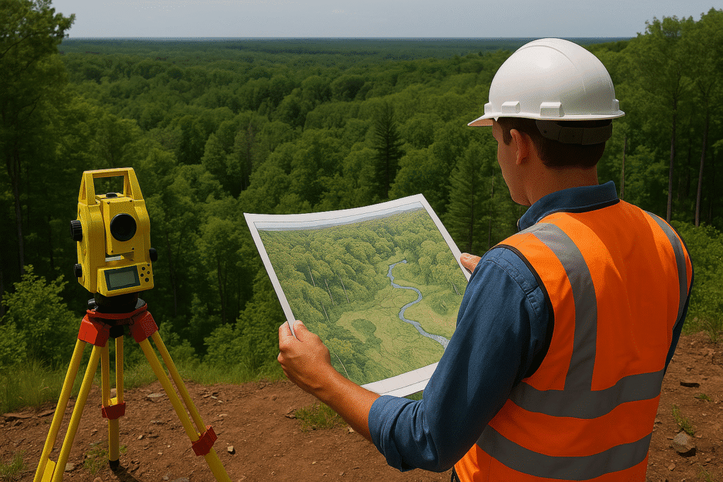
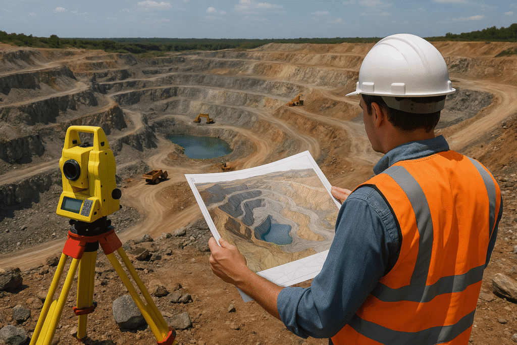
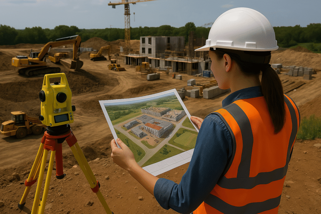
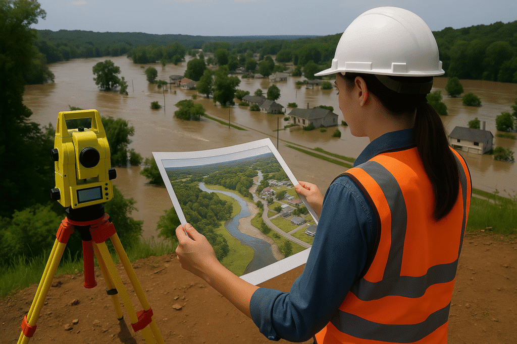
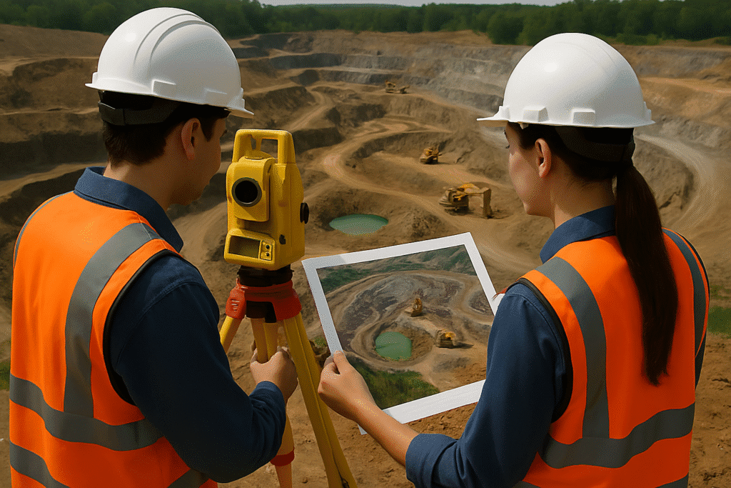
- Base surveys using total station, DGPS, drone, and mobile LiDAR
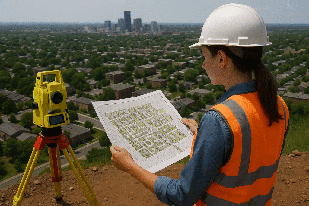
- Preparation of urban development plans and zoning layouts
- Regulatory mapping for DTCP, municipal and statutory approvals
- GIS integration for land use planning, road networks, and utilities
- Compliance-ready drawings: Masterplans, service plans, alignment sheets
- Feasibility reports, environmental and socio-economic impact assessments
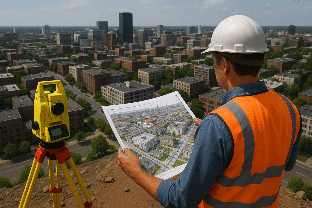
- Support for 2D/3D simulations for visualizing planned developments


Industries Served
Real Estate & Township Developers
For layout planning, infrastructure mapping, and compliance approvals.

Urban Local Bodies & Municipalities
For city development, asset management, and masterplan execution.

Smart City & Infrastructure Projects
For technology-enabled urban services and integrated infrastructure.
Industrial Clusters & SEZs
For site development, infrastructure readiness, and statutory compliance.

Why choose Copasa for this service?
Integrated Urban Expertise
Copasa brings together surveying, planning, GIS, and regulatory knowledge under one roof to offer streamlined urban development support.
Regulatory Approval Support
We have hands-on experience with DTCP norms, ULB processes, and planning authority regulations to ensure smooth approval workflows.
Cutting-Edge Technology Use
Our deployment of drone, LiDAR, mobile mapping, and GIS ensures highly accurate planning and simulation for modern urban needs.
Proven Urban Projects Portfolio
From layout planning to urban redevelopment, our track record across multiple urban zones speaks to our reliability and technical excellence.
Frequently asked questions about
Urban Developments
What does Copasa’s Urban Development service include?
Copasa’s Urban Development service covers the full lifecycle of planning and executing urban projects—starting from base surveys and layout design to regulatory approvals, infrastructure integration, and GIS-based planning for sustainable and smart urban growth.
Who typically requires Urban Development services?
Our clients include real estate developers, municipal bodies, smart city planners, infrastructure consultants, and government agencies involved in township development, urban renewal, or infrastructure expansion projects.
Do you assist in obtaining DTCP and municipal approvals?
Yes. Copasa provides complete support in preparing the required documentation, layouts, and plans to obtain approvals from DTCP (Directorate of Town and Country Planning), Urban Local Bodies (ULBs), and other relevant authorities.
Can Copasa help with zoning and land use planning?
Absolutely. Our experts use GIS tools and planning frameworks to analyze existing land use, define zoning strategies, and propose optimized layouts aligned with urban development regulations.
What kind of surveys are conducted for urban planning?
We perform topographical surveys, DGPS control surveys, drone and aerial mapping, and mobile LiDAR surveys. These provide the foundational data required for master planning and engineering design.
How do your services support smart city initiatives?
Copasa integrates geospatial data, utility mapping, and technology-backed layouts that align with smart city components such as IoT-ready infrastructure, digital governance, and urban mobility systems.
How accurate is your survey and layout planning data?
Our use of advanced tools like LiDAR, RTK GPS, drone photogrammetry, and CAD/GIS software ensures high-precision data, typically achieving spatial accuracy within a few centimeters.
Can you work on both greenfield and brownfield urban projects?
Yes. We support new township layouts (greenfield) as well as redevelopment and densification projects in existing urban areas (brownfield), customizing our methodology accordingly.
What documentation do you deliver at the end of the project?
We provide master plans, zoning maps, layout drawings, utility and road designs, environmental and social impact reports, and complete approval-ready documentation.
Why should we choose Copasa over other urban development consultants?
Copasa stands out for its integrated approach, use of cutting-edge survey technologies, strong regulatory knowledge, and a proven portfolio of successful urban and township planning projects across sectors.
Let’s Build Something
Exceptional Together.
Whether you’re breaking ground or scaling up, we bring precision, speed, and compliance to every project. From highways to high-rises, surveys to smart cities—our experts are ready to guide you. No hidden costs, no obligations—just honest insights and professional clarity. Request a tailored quote or a free expert consultation in just a few clicks. Because when you build with Copasa, you build with confidence.