


For road alignment studies, bridge planning, and corridor mapping.
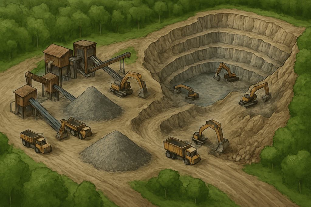
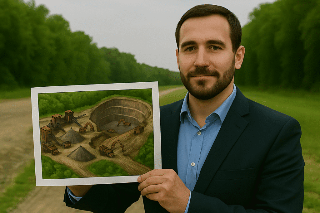
For volumetric analysis, site modeling, and excavation planning.
For 3D urban mapping, utility planning, and drainage modeling.
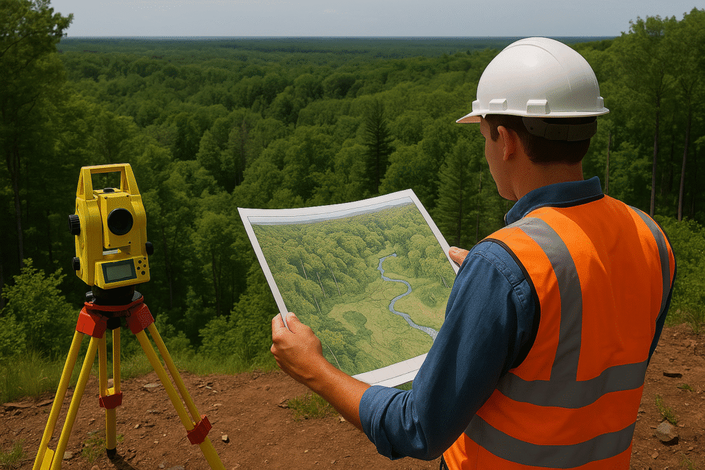
For canopy analysis, land use classification, and terrain mapping.
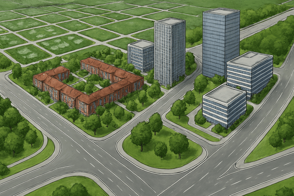
For zoning, infrastructure layout, and city model development.
For crop health monitoring, water channel planning, and soil analysis.
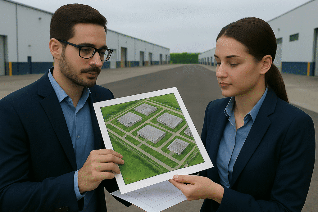
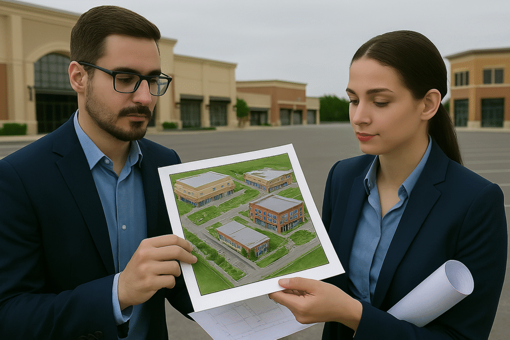
For site reconnaissance, feasibility studies, and monitoring progress.
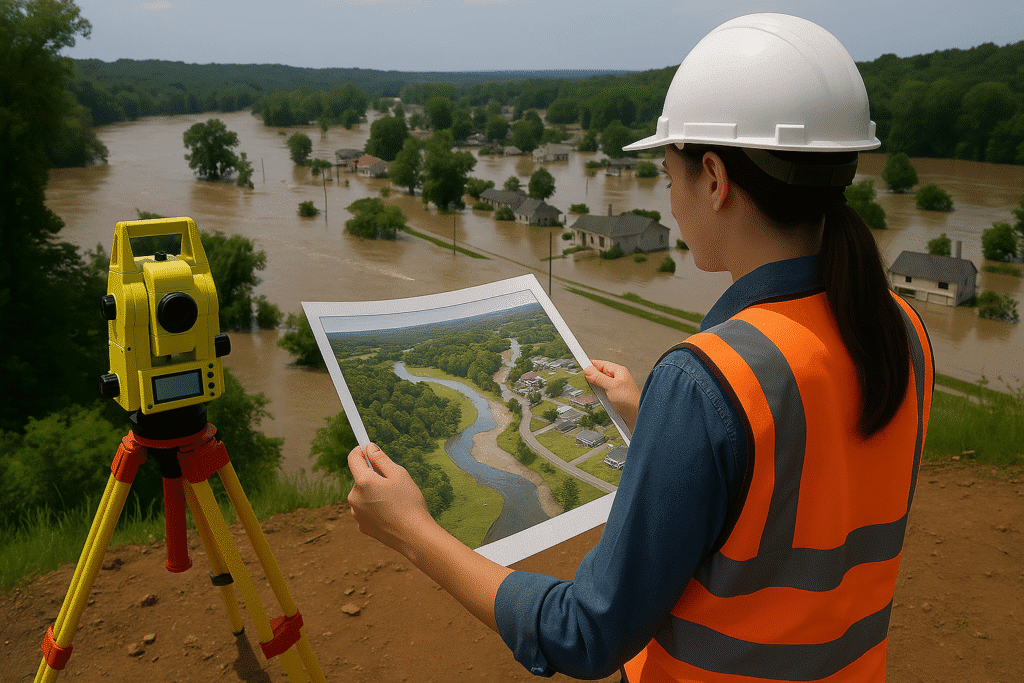
For floodplain mapping, terrain analysis, and damage assessments.
DGPS control is fundamental for road alignments, bridges, and corridor development.
Used for master planning, utility mapping, and zoning control frameworks.
Supports volumetric surveys, lease demarcation, and excavation boundaries.
Essential for canal alignment, reservoir modeling, and watershed management.
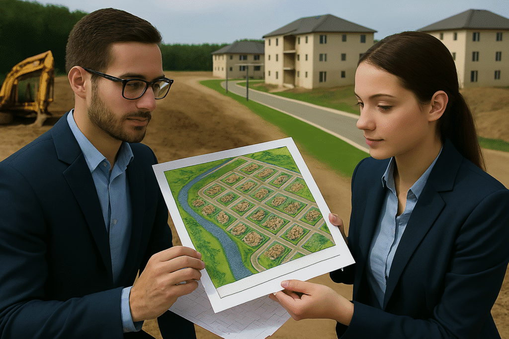
Layout approvals for plotted developments, gated communities, and apartment projects.
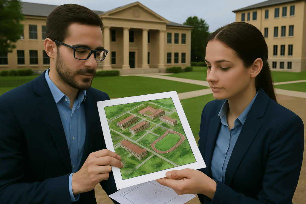
DTCP approvals for schools, colleges, training institutes, and hostels.
Approvals for setting up parks, warehouses, and special economic zone layouts.
DTCP-sanctioned plans for malls, commercial layouts, and mixed-use buildings.
Masterplans, road networks, drainage, and public utility mapping
Building layouts, floor plans, apartment designs, and site development drawings
Plant layout plans, utility mapping, storage yard planning, and structural drawings
Substation planning, power line layouts, and pipeline engineering documentation
Townships, residential layouts, commercial complexes, and roadways
Minor and major mineral extraction projects, stone crushers, and mining leases
Chemical plants, cement factories, food processing, and textile industries
Power plants, substations, transmission lines, and renewable energy setups
Roadways, railways, pipelines, transmission lines, and airports
Major and minor mineral extraction, coal blocks, and lease renewals
Hydro and thermal power plants, renewable energy projects
Layouts, SEZs, industrial zones partially falling under forest zones
WhatsApp us