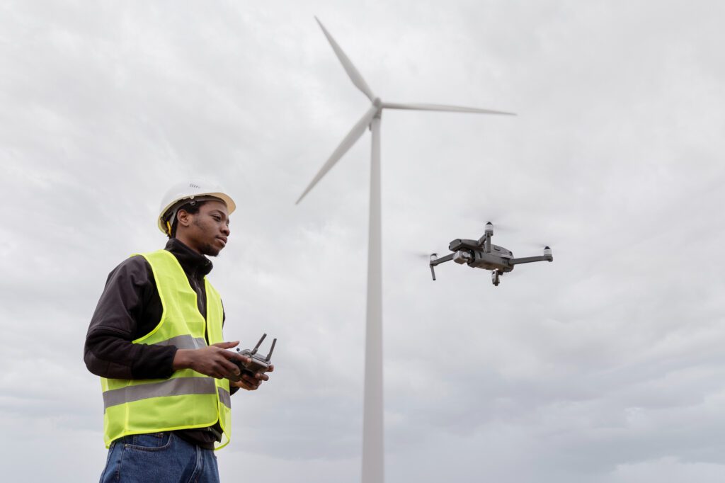
Aerial LiDAR Survey with UAV (Drone)
Map the impossible — faster, smarter, and with pinpoint precision using drone-based LiDAR technology. From rugged terrains to dense forests, we deliver high-resolution 3D insights from above.
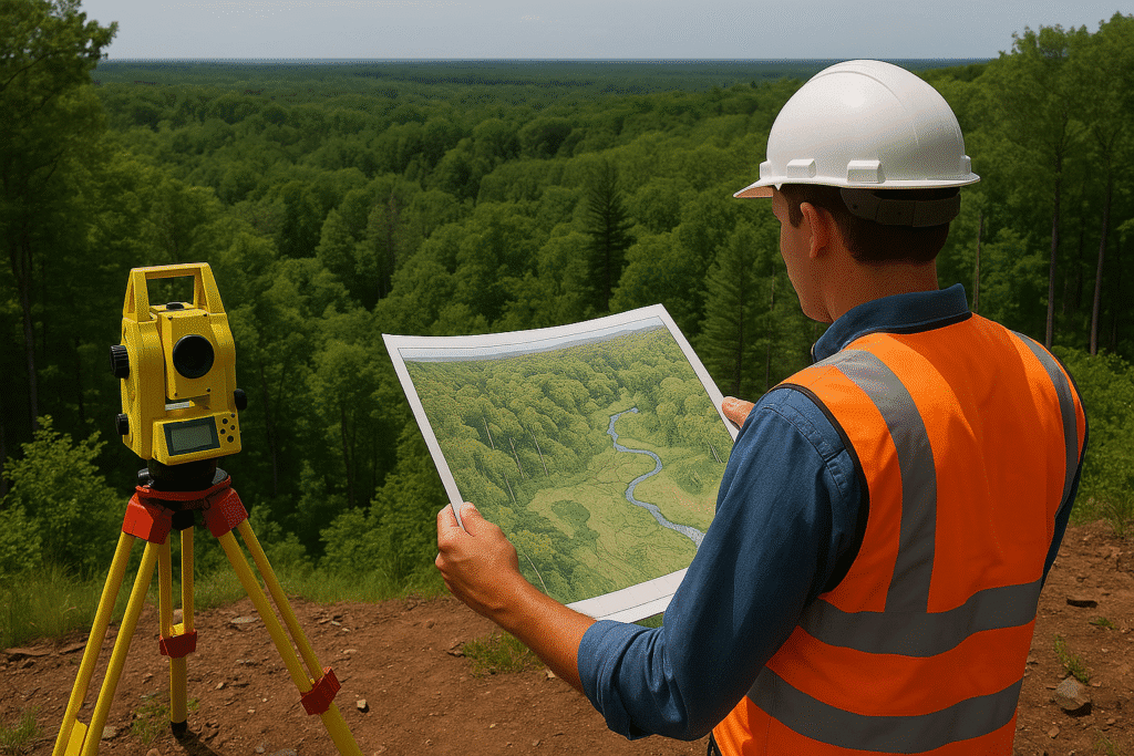
What is this service?
Aerial LiDAR Surveying with UAVs (Unmanned Aerial Vehicles), also known as drone-based LiDAR, is a cutting-edge surveying technique that captures high-resolution, three-dimensional geospatial data using light detection and ranging technology. By integrating precision sensors with agile UAV platforms, this method enables fast, accurate, and scalable mapping of large and complex terrains, even in areas that are difficult or dangerous to access by ground crews.
At COPASA Projects Pvt. Ltd., we deploy advanced drone technology equipped with LiDAR payloads to deliver highly accurate topographic and surface models that support infrastructure planning, engineering design, and environmental monitoring.
- High-Resolution 3D Point Cloud Generation
- Rapid Deployment in Remote or Inaccessible Areas
- Superior Coverage Over Large Land Parcels
- Highly Accurate Terrain Modeling (DTM/DSM)
- Cost-Effective and Time-Efficient Surveying Method
Key Features
- LiDAR-enabled drones with centimeter-level GPS accuracy
- Fast acquisition and processing of millions of data points
- Ability to penetrate vegetative cover and generate bare-earth models
- Geo-referenced outputs suitable for CAD, GIS, and BIM systems
- Data deliverables include classified point clouds, contour maps, DEM/DTM, and orthophotos
- Safety-enhanced with minimal on-site personnel requirement
- Fully compliant with DGCA UAV flight and survey regulations

Industries Served
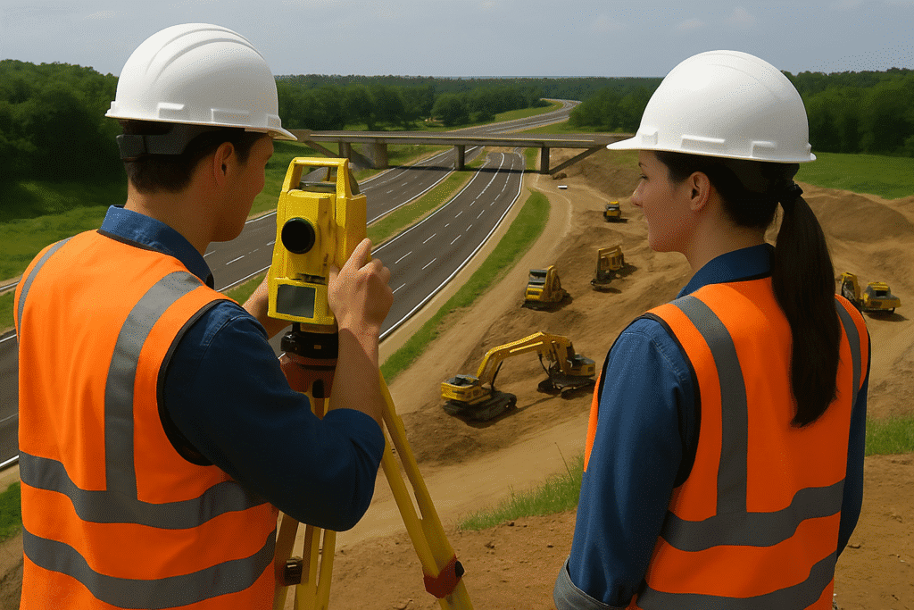
Infrastructure & Highway Development
For road alignment studies, bridge planning, and corridor mapping.

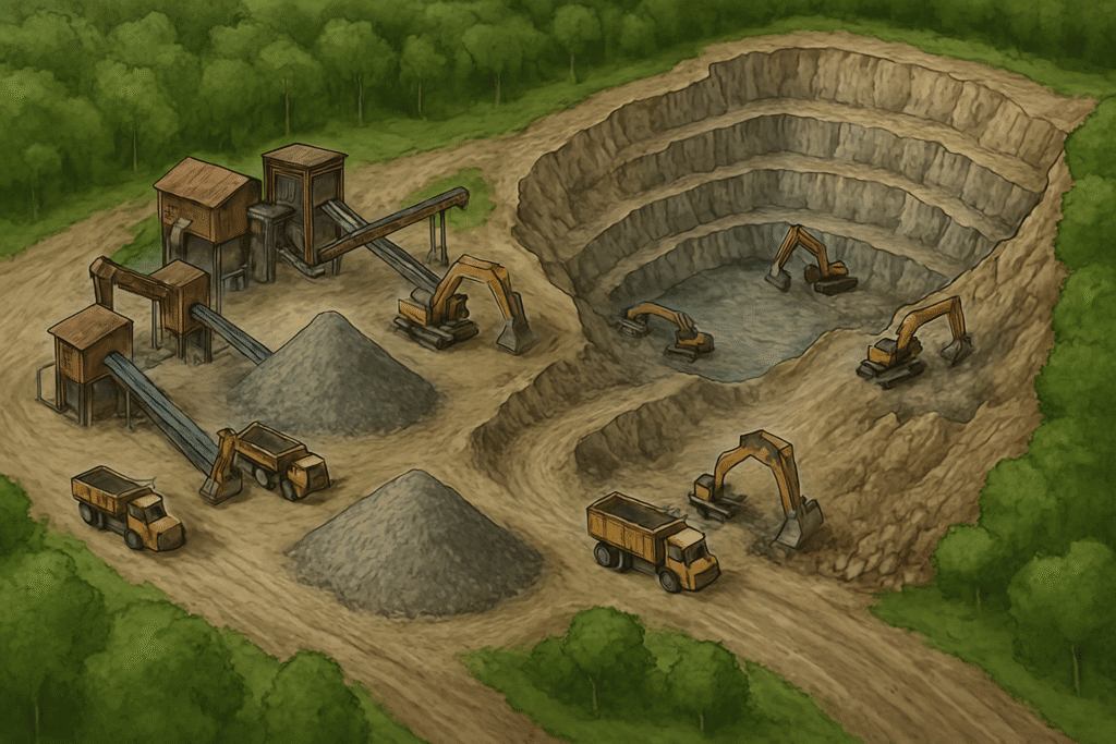
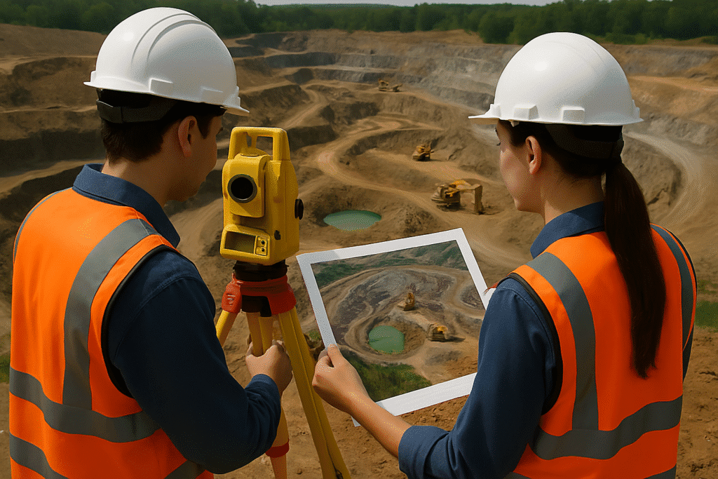
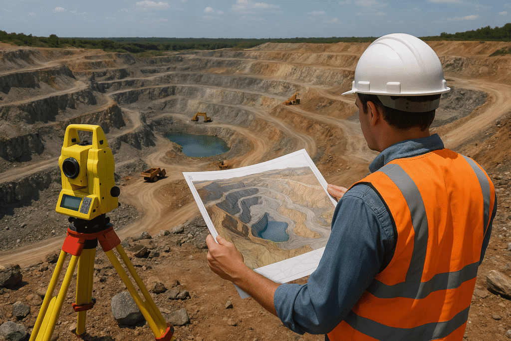
Mining and
Geology
For volumetric analysis, site modeling, and excavation planning.
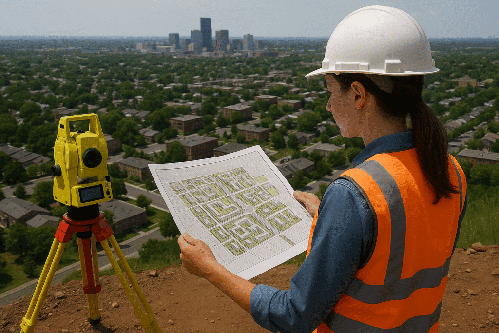
Urban Planning & Smart Cities
For 3D urban mapping, utility planning, and drainage modeling.

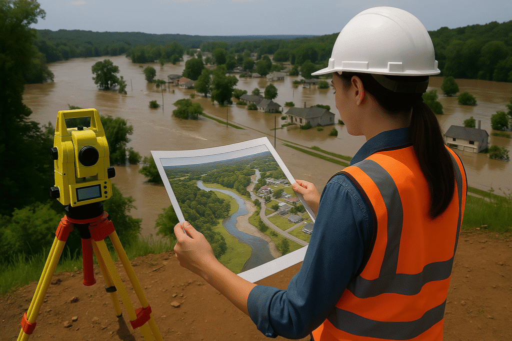
Forestry & Environmental Management
For canopy analysis, land use classification, and terrain mapping.
Why choose Copasa for this service
Precision Technology Deployment
We use industry-leading UAV platforms integrated with high-density LiDAR scanners, achieving superior data accuracy and resolution tailored to project needs.
Expert Field and Processing Teams
Our drone pilots and LiDAR processing experts ensure streamlined data acquisition, quality control, and timely delivery of actionable outputs.
End-to-End Service Delivery
From pre-flight planning to post-processing and report generation, we provide comprehensive surveying solutions including GIS integration and modeling.
Regulatory Compliance and Safety
COPASA operates under strict aviation and environmental guidelines, ensuring safe, legal, and environmentally conscious operations throughout the project lifecycle.
Frequently asked questions about
Aerial LiDAR Survey with UAV (Drone)
What is an Aerial LiDAR Survey using UAVs?
Aerial LiDAR Surveying with UAVs (drones) involves capturing high-density 3D spatial data using laser pulses emitted from a LiDAR sensor mounted on a drone. It enables accurate topographic mapping of the terrain, even under dense vegetation.
How accurate is drone-based LiDAR surveying?
With proper ground control and high-grade equipment, UAV LiDAR surveys can achieve horizontal accuracy within 5–10 cm and vertical accuracy within 5–15 cm, depending on the site conditions and flight parameters.
How is LiDAR different from traditional photogrammetry?
Drone LiDAR is widely used in infrastructure development, mining, forestry, urban planning, flood modeling, and land development projects, especially where high-resolution terrain data is critical.
How is LiDAR different from traditional photogrammetry?
LiDAR uses laser beams to measure distances, penetrating vegetation to capture ground surface accurately. Photogrammetry relies on overlapping images and is limited in densely forested or shaded areas. LiDAR offers more accurate elevation and contour data.
What deliverables can we expect from a UAV LiDAR survey?
Typical outputs include:
- Classified 3D point clouds
- Digital Elevation Models (DEM/DTM)
- Contour maps
- Orthomosaic images
- Cross-sections and profiles
- CAD and GIS-compatible datasets
How large an area can be surveyed with UAV LiDAR?
A single drone flight can cover up to 50–100 hectares per day, depending on terrain and battery logistics. For larger projects, we deploy multiple flights and optimize for uninterrupted data capture.
Is drone-based LiDAR surveying legal in India?
Yes. COPASA ensures full compliance with DGCA regulations for UAV operations in India. We handle all required airspace permissions, safety protocols, and documentation before initiating a survey.
Do you provide Ground Control Points (GCPs) and georeferencing?
Absolutely. For high-precision results, we deploy Differential GPS (DGPS) to establish GCPs and tie the LiDAR data to real-world coordinates for accurate georeferencing.
Can drone LiDAR be used in hilly or forested terrain?
Yes. Drone LiDAR is ideal for complex terrains, dense vegetation, and hilly regions, as the laser pulses can penetrate foliage to map the ground surface accurately—something photogrammetry often struggles with.
How quickly can you deliver the processed LiDAR data?
We typically deliver preliminary outputs within 3–5 business days and full datasets (after classification and QA) within 7–10 business days, depending on project size and complexity.
Let’s Build Something
Exceptional Together.
Whether you’re breaking ground or scaling up, we bring precision, speed, and compliance to every project. From highways to high-rises, surveys to smart cities—our experts are ready to guide you. No hidden costs, no obligations—just honest insights and professional clarity. Request a tailored quote or a free expert consultation in just a few clicks. Because when you build with Copasa, you build with confidence.