Engineering Plan – 2D and 3D
From blueprint to breakthrough — visualize, validate, and build with precision. Copasa’s 2D & 3D engineering plans bring your infrastructure to life before the first brick is laid.
What is this service?
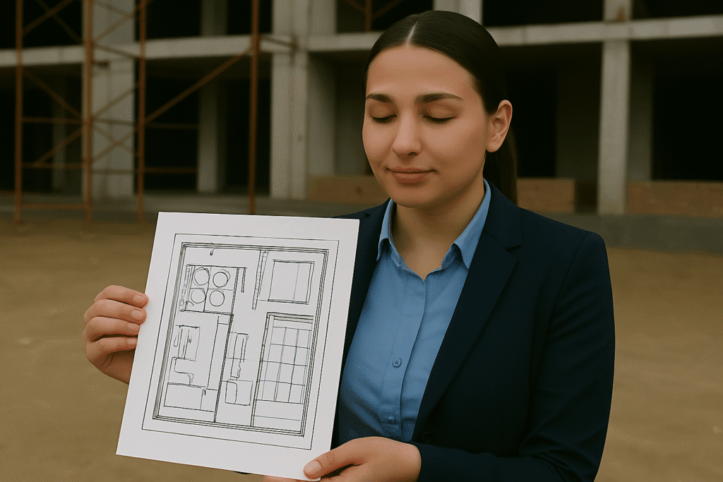
An Engineering Plan in 2D and 3D is a detailed technical representation of infrastructure projects, showcasing dimensions, spatial layouts, elevations, cross-sections, and visual perspectives. These plans form the foundation of project design, estimation, and execution across civil, industrial, and infrastructure sectors.
Copasa offers high-precision, regulatory-compliant 2D drafting and 3D visualization services that help clients translate concepts into constructible realities. Our engineering plans ensure alignment with functional, structural, and environmental requirements—minimizing errors and maximizing project clarity.
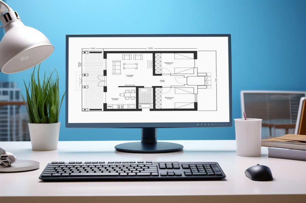
- Detailed 2D drafting with CAD precision for site layouts, floor plans, elevations, and sections
- Immersive 3D models that provide a realistic understanding of project scope and aesthetics
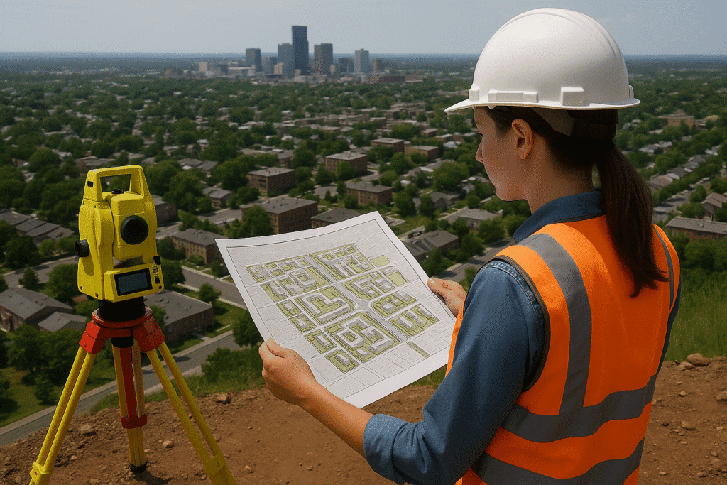
- GIS-integrated site-specific planning for terrain-responsive infrastructure
- Data-rich deliverables including material specifications, dimensioning, and legends
- Ready-to-build outputs suited for contractors, architects, and government approvals
Key Features
- AutoCAD-based 2D drawings for civil, electrical, plumbing (MEP), structural, and architectural layouts
- 3D modeling using industry-standard tools (SketchUp, Revit, Civil 3D)
- Topographic integration for slope, grading, and drainage planning
- Alignment and cross-section drawings for roadways and utilities
- Clash detection between utility systems in 3D space
- Digital submission-ready drawings adhering to local authority norms
- Iterative design updates with version control and design validation

Industries Served
Urban Infrastructure & Smart Cities
Masterplans, road networks, drainage, and public utility mapping

Construction and Real Estate
Building layouts, floor plans, apartment designs, and site development drawings

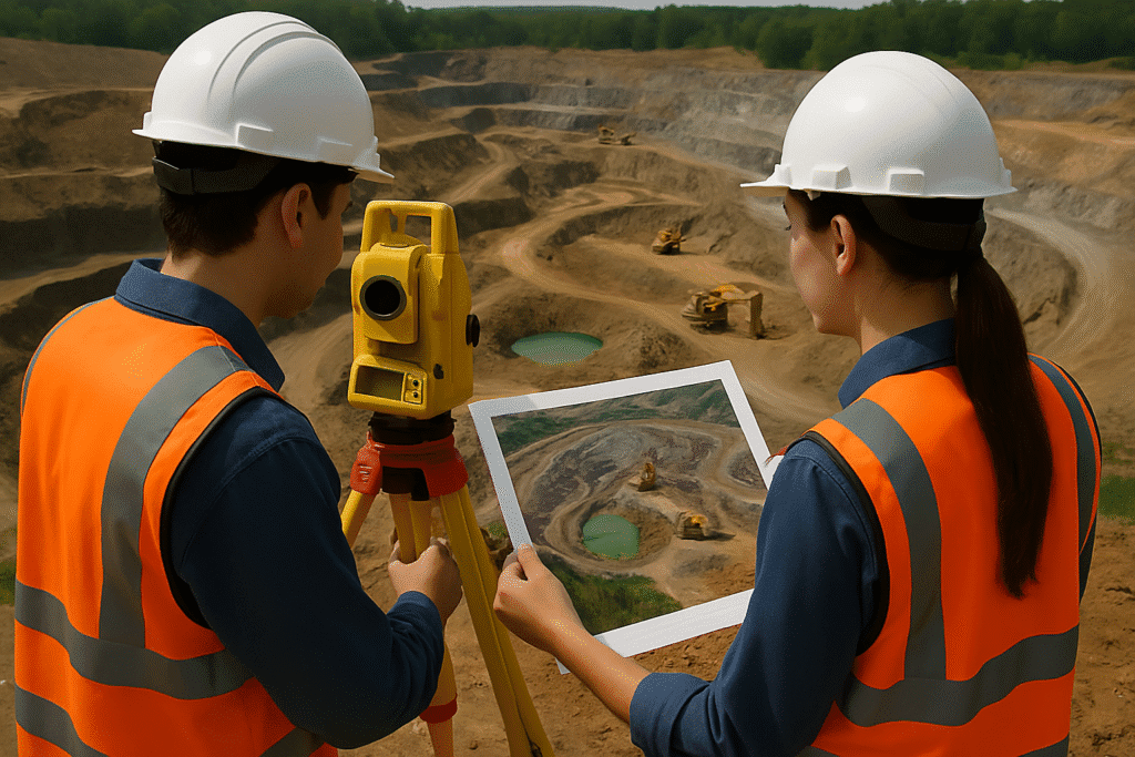
Industrial and Manufacturing
Plant layout plans, utility mapping, storage yard planning, and structural drawings
Energy and Utilities Services
Substation planning, power line layouts, and pipeline engineering documentation

Why choose Copasa for this service?
Precision and Technical Mastery
We combine deep engineering knowledge with advanced software tools to deliver highly accurate and build-ready 2D and 3D plans tailored to your project’s specific needs.
Visualization-Driven Communication
Our 3D visual models help clients, contractors, and regulatory bodies understand the design intent better—leading to faster approvals and fewer execution errors.
Regulatory and Site-Compliant Outputs
All drawings are prepared in line with DTCP, municipal, and departmental standards, and adapted to site constraints and geospatial realities.
Integrated Approach Across Disciplines
Our multi-disciplinary team ensures seamless integration of architectural, civil, electrical, and plumbing aspects in both 2D and 3D formats.
Frequently asked questions about
Engineering Plan – 2D and 3D
What is the difference between a 2D and a 3D engineering plan?
A 2D plan provides flat, top-down or sectional technical drawings showing dimensions, layouts, and schematics, while a 3D plan offers a visual representation of the structure or system, adding depth and perspective to help visualize the end result more realistically.
Why are 2D and 3D engineering plans important in a project?
They are the foundation of accurate construction, enabling all stakeholders—from engineers to contractors—to clearly understand dimensions, materials, alignments, and system layouts. 3D models further help in visualizing the spatial arrangement and detecting design clashes early.
What kind of projects require 2D and 3D engineering plans?
These plans are essential for:
- Building construction
- Road and infrastructure development
- Utility layout and MEP systems
- Industrial plant design
- Urban and rural development masterplans
Which software tools does Copasa use for 2D and 3D drafting?
We use industry-standard tools like AutoCAD, Civil 3D, Revit, SketchUp, and ArcGIS (for spatial integration). These tools ensure compatibility, precision, and regulatory adherence.
Are Copasa’s engineering plans compliant with government norms?
Yes. All 2D and 3D drawings are developed in compliance with the DTCP, municipal, and industry-specific regulations including building bye-laws, environmental clearance norms, and zoning requirements.
Can I request revisions to my engineering plan?
Absolutely. Our process includes iterative reviews, and we provide multiple revisions as part of the standard workflow to ensure the final deliverables are aligned with your vision and regulatory requirements.
How detailed are the 2D drawings provided by Copasa?
Our 2D plans include:
- Site layout and boundary details
- Floor plans, elevation, and cross-sections
- Electrical, plumbing, and drainage drawings (MEP)
- Road, grading, and utility alignments
Legends, dimensioning, and material specifications
Can I use Copasa’s 3D models for presentations or investor proposals?
Yes. Our 3D visualizations are presentation-ready and ideal for client demos, project approvals, public presentations, and investment pitches. We can also export in interactive formats for stakeholder walkthroughs.
Do you offer engineering plans as part of other survey or approval services?
Yes. We integrate engineering planning with services such as topographic surveys, Lidar data processing, DTCP approvals, and GIS mapping—ensuring a single-window solution for your project lifecycle.
How do I get started with Copasa’s engineering plan services?
You can start by contacting us with your project brief and site details. We’ll schedule a consultation, assess requirements, and provide a proposal with timelines, deliverables, and pricing.
Let’s Build Something
Exceptional Together.
Whether you’re breaking ground or scaling up, we bring precision, speed, and compliance to every project. From highways to high-rises, surveys to smart cities—our experts are ready to guide you. No hidden costs, no obligations—just honest insights and professional clarity. Request a tailored quote or a free expert consultation in just a few clicks. Because when you build with Copasa, you build with confidence.