Geographic Information Systems (GIS)
Turn location into strategy — Copasa’s GIS services transform spatial data into powerful decisions. From land to layout, we map intelligence that drives results.
What is this service?
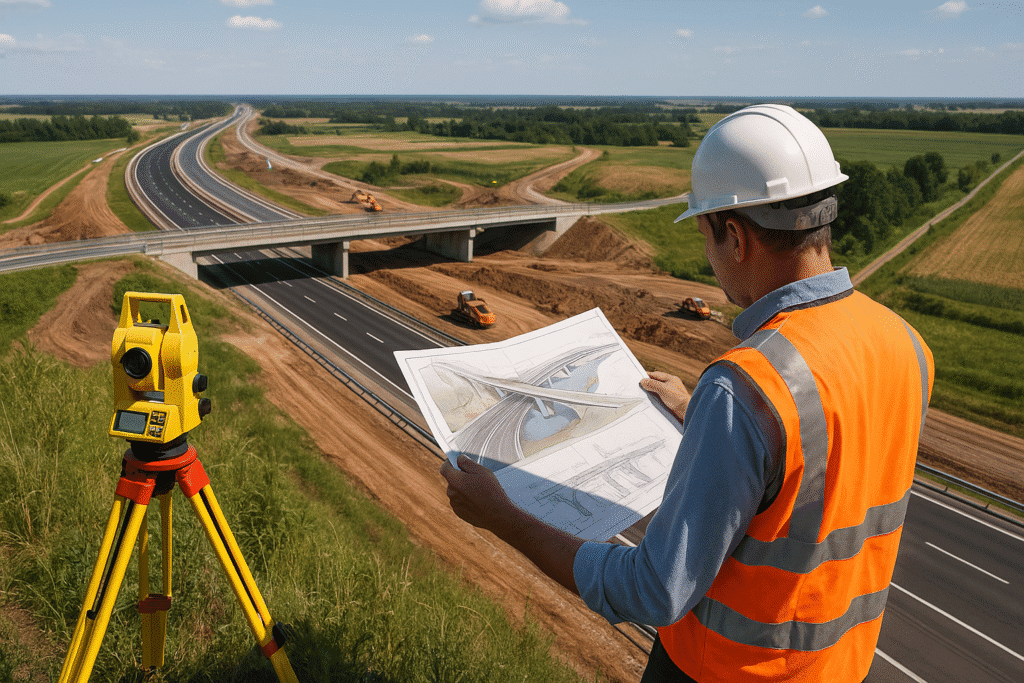
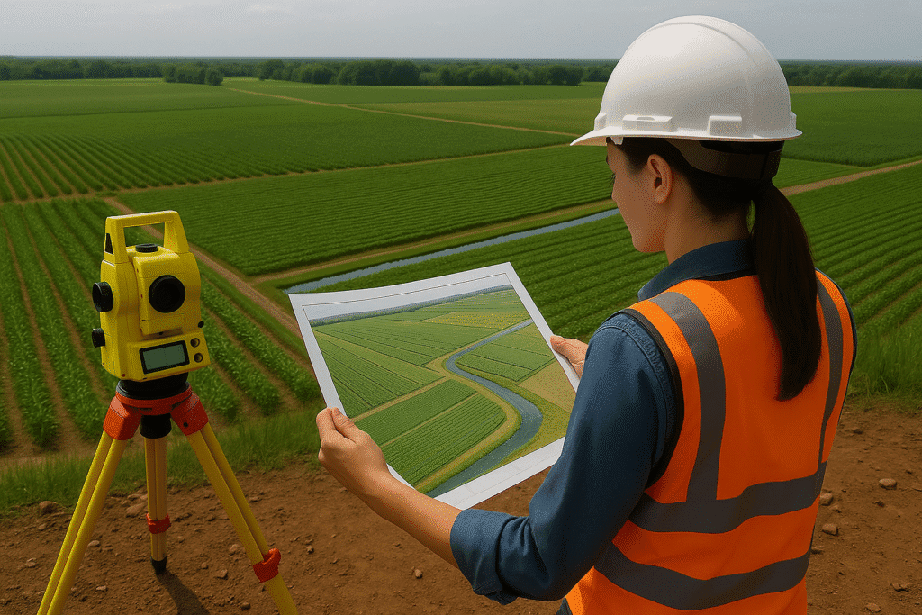
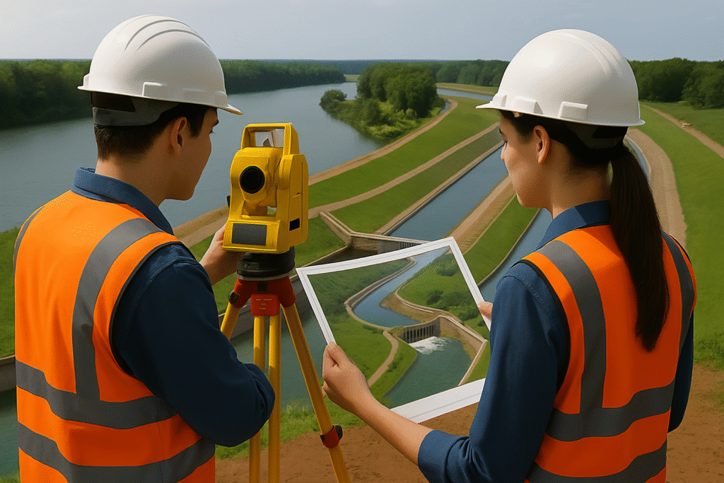
Geographic Information Systems (GIS) is a spatial data technology that allows for the collection, visualization, analysis, and interpretation of geographical data. GIS plays a vital role in infrastructure planning, asset management, land use analysis, and decision-making by integrating location-based data with mapping and analytics.
At Copasa, we offer industry-grade GIS solutions, blending cartography, remote sensing, and data analytics to help clients visualize patterns, identify relationships, and make informed spatial decisions. Whether you are developing urban layouts, managing utility networks, or mapping environmental assets — Copasa’s GIS services provide clarity with precision.
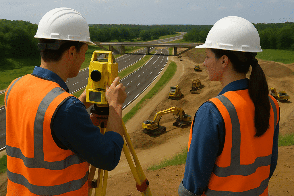
- High-accuracy geospatial mapping and analysis using advanced GIS platforms
- Customized spatial database creation for land, utilities, and infrastructure
- Integration of GIS with drone, LiDAR, and satellite imagery inputs
- Smart decision-support systems with location-based intelligence
- Ready-to-deploy GIS solutions for government and private sector clients
Key Features
- Base map creation using remote sensing and survey inputs
- GIS database design, attribute tagging, and layer management
- Thematic mapping (land use, zoning, utilities, etc.)
- Geo-referenced asset tracking for field infrastructure
- Spatial analysis and modeling for planning and simulation
- Desktop, web-based, and mobile GIS application development
- Integration with MIS, ERP, and digital dashboards


Industries Served
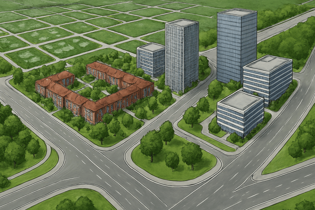
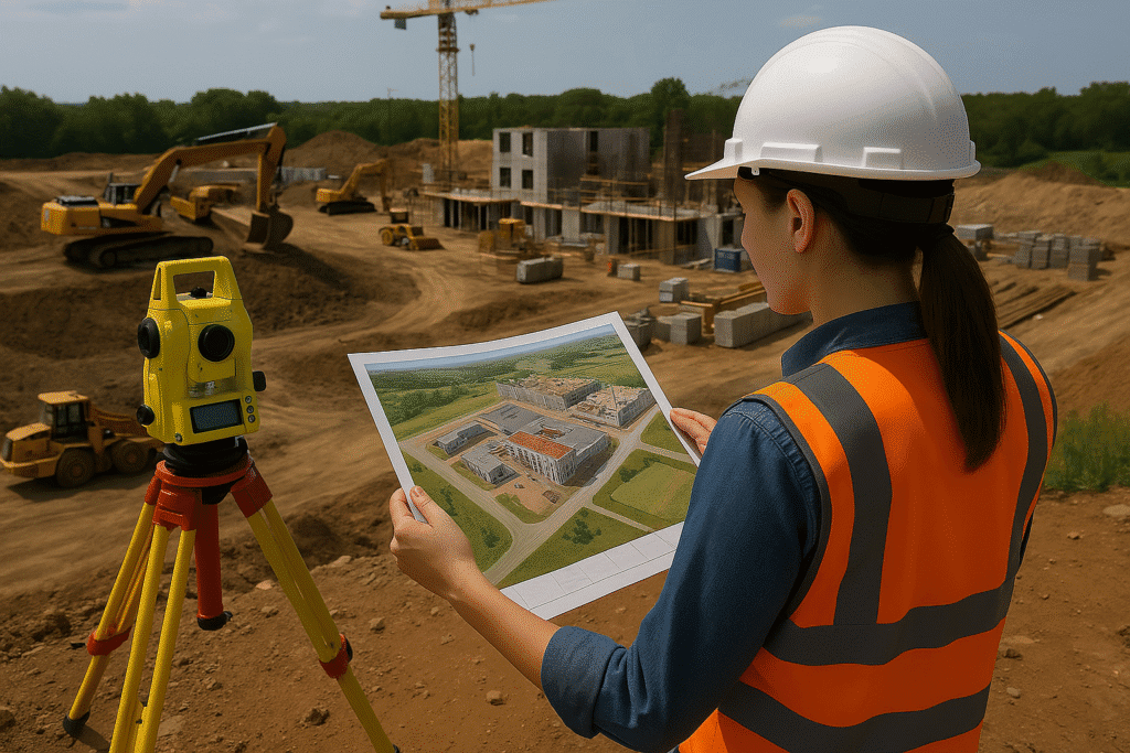
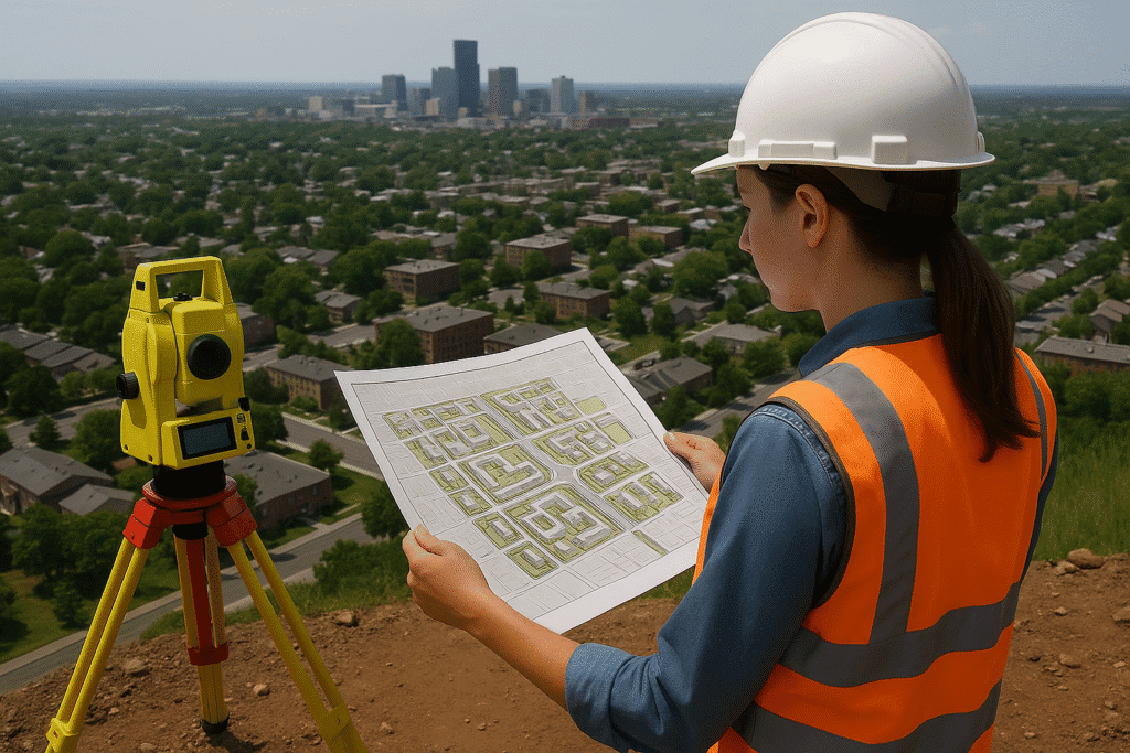
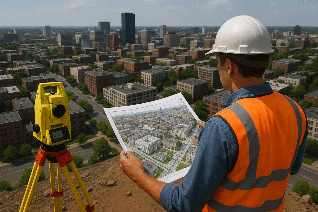
Urban Planning & Smart Cities
Zoning, master planning, land-use change detection, infrastructure mapping
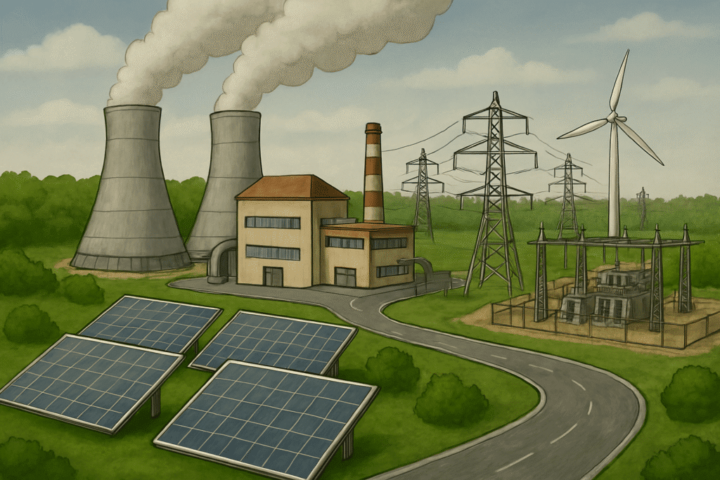
Utilities and
Infrastructure
Water supply, power distribution, telecom networks, pipeline monitoring
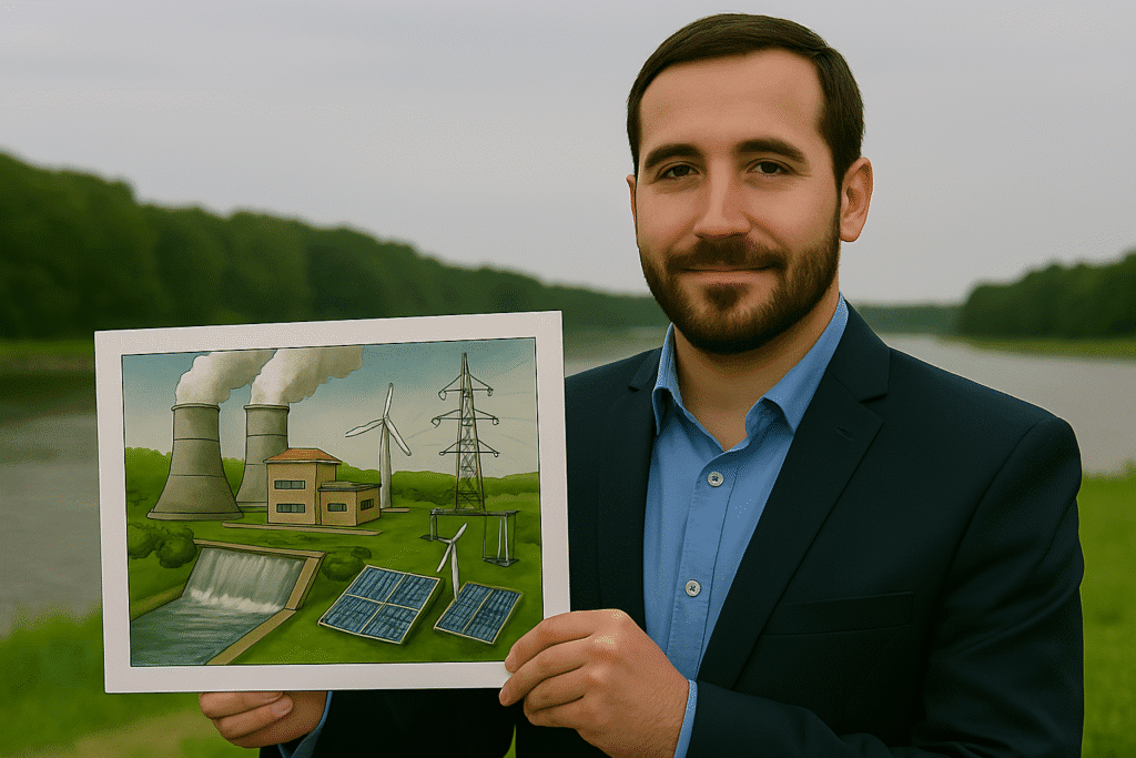
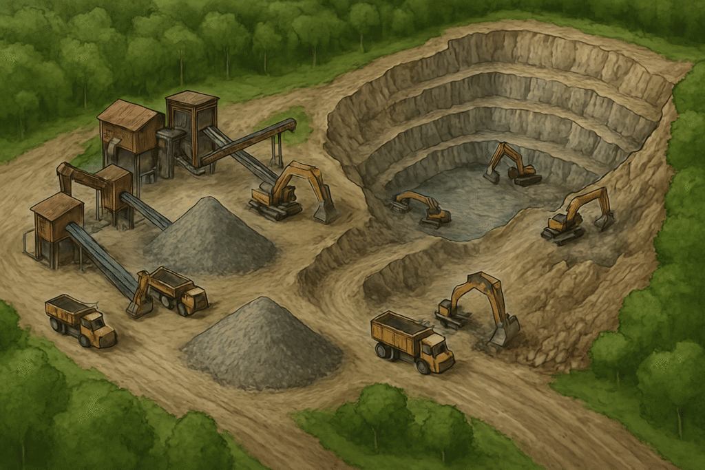
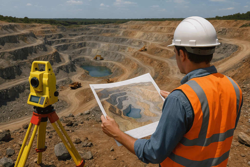
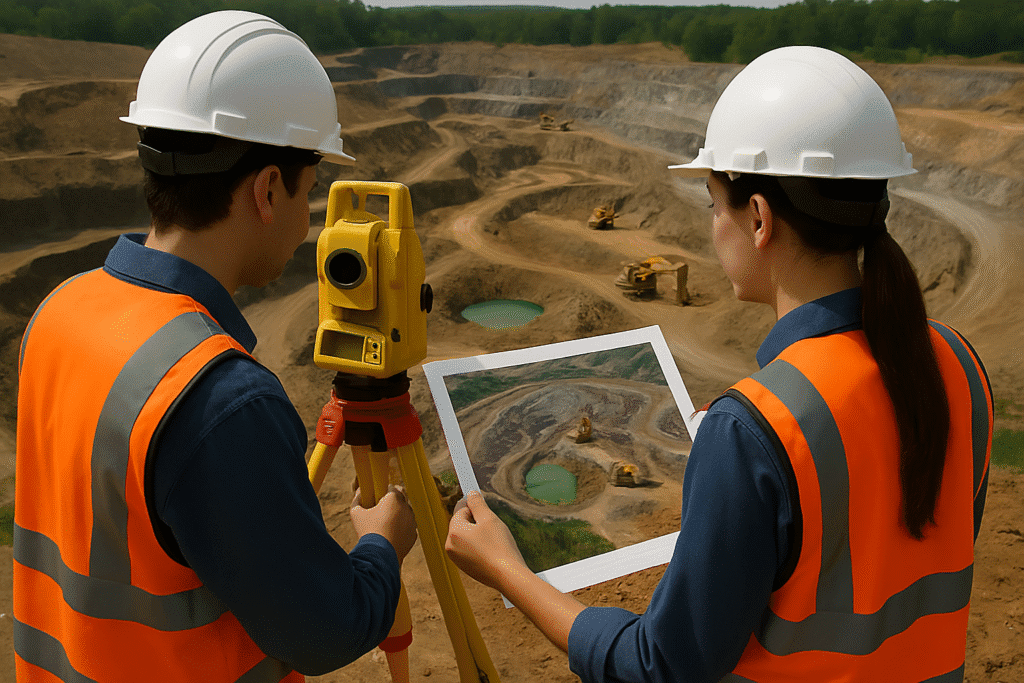
Mining & Natural Resources
Resource mapping, lease boundary validation, environmental impact assessment
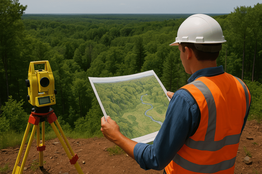
Forestry and
Environmental
Forest mapping, biodiversity assessment, eco-restoration monitoring
Why choose Copasa for this service?
Integrated Geo-Survey Expertise
We combine our deep experience in surveying (DGPS, drone, LiDAR) with GIS to deliver fully integrated geospatial data solutions.
Custom-Built GIS Solutions
From base maps to interactive dashboards, our team designs tailor-made GIS systems aligned with your specific operational or regulatory needs.
Enterprise-Grade Platforms & Tools
We use industry-standard platforms like ArcGIS, QGIS, ERDAS, and Global Mapper to ensure data accuracy, interoperability, and scalability.
Actionable Spatial Intelligence
Copasa doesn’t just map locations—we deliver strategic spatial insights that enhance decision-making, reduce operational risk, and optimize land and resource utilization.
Frequently asked questions about
Geographic Information Systems (GIS)
What is Geographic Information Systems (GIS)?
GIS is a framework for capturing, storing, analyzing, and visualizing spatial and geographic data. It helps in understanding patterns, relationships, and trends in location-based data — enabling better planning, resource management, and decision-making.
How can GIS add value to my infrastructure or urban planning project?
GIS supports every stage of your project — from feasibility studies, site selection, and resource mapping to asset tracking and post-construction management. It enhances accuracy, minimizes costs, and improves stakeholder communication with interactive visualizations.
What types of data are used in GIS?
GIS integrates multiple data types including:
- Spatial data (coordinates, maps, shapefiles)
- Attribute data (linked tabular data such as land use, ownership)
- Remote sensing inputs (satellite, drone, LiDAR imagery)
- Survey data (DGPS, total station inputs)
Copasa harmonizes all these sources into a unified geospatial database.
Which industries benefit the most from GIS solutions?
GIS benefits a wide range of industries, including:
- Urban development and smart cities
- Utility services (power, water, telecom)
- Mining and geology
- Forestry and environmental monitoring
- Transportation and logistics
- Agriculture and land use management
Is GIS only for large-scale projects?
Not at all. GIS is scalable. From individual land parcels and building plans to city-wide infrastructure and regional planning, GIS tools can be tailored to suit projects of any size or complexity.
Can Copasa develop custom GIS applications for my organization?
Yes. Copasa offers custom-built GIS solutions, including:
- Desktop GIS for analysts
- Web-based dashboards for decision-makers
- Mobile GIS apps for field teams
All tailored to your workflows, data formats, and security requirements.
What tools or platforms does Copasa use for GIS services?
We work with industry-standard and open-source tools, including:
- ArcGIS, QGIS, ERDAS Imagine, Global Mapper
- Integration with AutoCAD, LiDAR processing software, and Parivesh portals
- Customized APIs and GIS web applications using open GIS libraries
What is the difference between GIS and CAD?
CAD is mainly used for design and drafting (e.g., building layouts), while GIS focuses on spatial analysis and geographic context. GIS integrates real-world data, attributes, and analytics, making it ideal for planning, monitoring, and managing geographically dispersed assets.
Can GIS help with compliance and government approvals?
Absolutely. GIS mapping is often a prerequisite for:
- Forest and environmental clearances
- Urban and town planning approvals
- Mining leases and land boundary validation
Copasa ensures your GIS data aligns with regulatory requirements and formats.
How does Copasa ensure GIS data accuracy and reliability?
Copasa uses DGPS surveys, satellite imagery, drone data, and LiDAR inputs for ground-truth accuracy. Our GIS experts follow strict quality checks, layering protocols, and metadata standards to ensure your data is accurate, up-to-date, and actionable.
Let’s Build Something
Exceptional Together.
Whether you’re breaking ground or scaling up, we bring precision, speed, and compliance to every project. From highways to high-rises, surveys to smart cities—our experts are ready to guide you. No hidden costs, no obligations—just honest insights and professional clarity. Request a tailored quote or a free expert consultation in just a few clicks. Because when you build with Copasa, you build with confidence.